Satellite Photos Show Tropical Storm Lee Drenching Gulf Coast

New satellite photos snapped by NASA and NOAA spacecraft are giving storm watchers an ultra-high view of Tropical Storm Lee as it pounds the U.S. Gulf Coast.
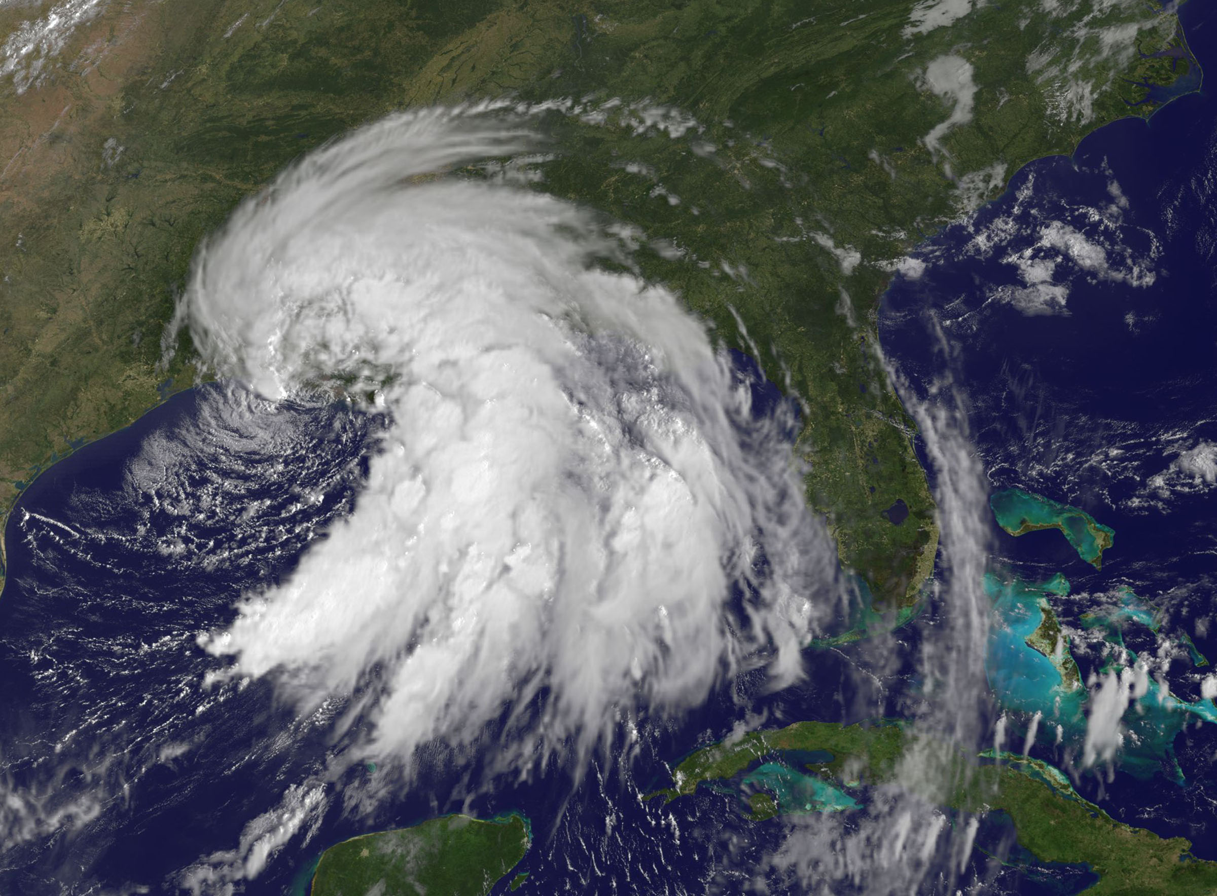
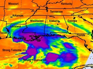
The photos, taken by NASA's Aqua satellite and the NOAA's GOES 13 weather tracker were snapped at different times today (Sept. 3), revealing the intensity of Lee's severe thunderstorms and rainfall, NASA officials said in an update.
"Because Tropical Storm Lee is a slow moving storm and still hasn't made landfall despite its close proximity to the coast, it will continue to be a huge rainmaking storm," wrote NASA spokesperson Rob Gutro, of the Goddard Space Flight Center in Greenbelt, Md., in a storm update. "Lee is moving slowly north northwest spreading heavy rains across the northern Gulf coast today." [Tropical Storm Lee photos from space]
NOAA's GOES-13 satellite view of Tropical Storm Lee shows the storm in visible light wavelengths 9:32 a.m. EDT (1332 GMT), revealing it to be a spiral-like mass of white clouds pounding the Gulf Coast.
The Aqua satellite snapped an infrared view of the storm for NASA scientists, showing Lee's strongest thunderstorms over Louisiana and the Gulf of Mexico as they appeared at about 3:47 a.m. EDT (0847 GMT).

As of 8 a.m. EDT (1200 GMT) today, Lee was still churning off shore about 15 miles (25 km) south-southeast of Intracoastal City, La., and moving north-northwest. The storm had maximum sustained winds of about 60 mph (95 kph).
Gutro wrote that Lee is expected to pour rain on the states of Louisiana, Mississippi and Alabama for the next three days. It could spawn flash floods for regions in the southern parts of those states, as well as the Florida Panhandle.
Get the Space.com Newsletter
Breaking space news, the latest updates on rocket launches, skywatching events and more!
"Torrential tropical rains will continue to impact south Mississippi and southeast Louisiana through the Labor Day weekend," the National Hurricane Center warned in an update.
Tornado watches and storm surge flood warnings have also been issues for many regions along the Gulf Coast, Gutro explained. Lee is expected to dump between 10 and 15 inches of rain on the Gulf Coast, with isolated pockets receiving up to 20 inches of rainfall, particularly along the Mississippi coastline, he added.
Meanwhile, NASA and NOAA also continue to track Hurricane Katia as it moves across the Atlantic Ocean.
Katia is a Category 1 hurricane with winds of about 75 mph (120 kph). That storm is expected to stay at sea this Labor Day holiday weekend, NASA officials said in a separate update.
Follow SPACE.com for the latest in space science and exploration news on Twitter @Spacedotcom and on Facebook.
Join our Space Forums to keep talking space on the latest missions, night sky and more! And if you have a news tip, correction or comment, let us know at: community@space.com.

Space.com is the premier source of space exploration, innovation and astronomy news, chronicling (and celebrating) humanity's ongoing expansion across the final frontier. Originally founded in 1999, Space.com is, and always has been, the passion of writers and editors who are space fans and also trained journalists. Our current news team consists of Editor-in-Chief Tariq Malik; Editor Hanneke Weitering, Senior Space Writer Mike Wall; Senior Writer Meghan Bartels; Senior Writer Chelsea Gohd, Senior Writer Tereza Pultarova and Staff Writer Alexander Cox, focusing on e-commerce. Senior Producer Steve Spaleta oversees our space videos, with Diana Whitcroft as our Social Media Editor.