Chinese Mapping Satellite Successfully Launched to Orbit
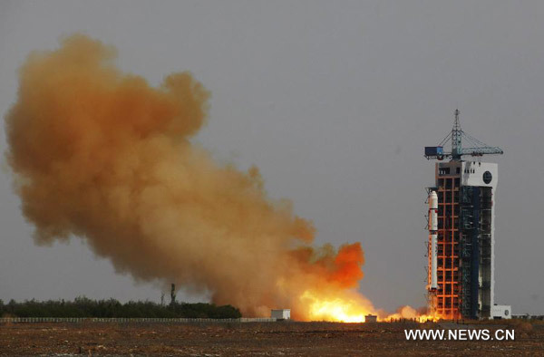
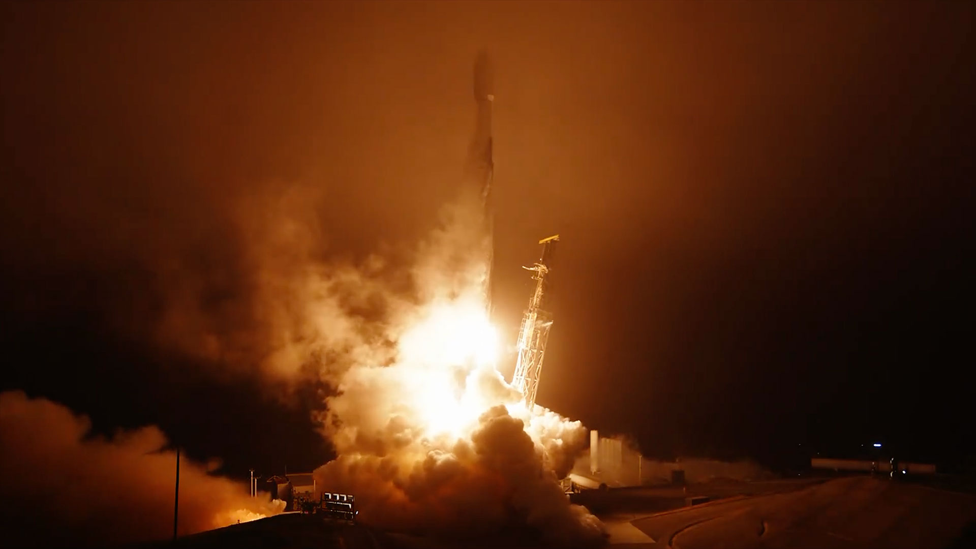
A Long March rocket boosted a Chinese mapping satellite into orbit Sunday from the Jiuquan launching base in the Gobi desert, according to state media reports.
The Tianhui 1B satellite blasted off at 0710 GMT (3:10 a.m. EDT) Sunday aboard a Long March 2D rocket, which deployed the spacecraft into a near-polar orbit more than 300 miles in altitude.
Liftoff occurred at 3:10 p.m. Beijing time.
The payload was the second Tianhui 1 spacecraft — named Tianhui 1B — designed for scientific research, land resource surveys and mapping, according to the state-run Xinhua news agency.
Tianhui 1B was developed and produced under the auspices of the China Aerospace Science and Technology Corp., or CASC, China's primary launch vehicle and satellie contractor.
Remote sensing data and test results from Tianhui 1B will play an active role in China's scientific research and national economic development, according to a statement released by CASC.
The first Tianhui 1 mapping satellite was launched in August 2010.
Get the Space.com Newsletter
Breaking space news, the latest updates on rocket launches, skywatching events and more!
Sunday's launch marked the 16th flight of a Long March 2D rocket since 1992, and it was the 20th space launch to reach orbit worldwide in 2012. China has conducted six space launches this year.

Copyright 2012 SpaceflightNow.com, all rights reserved.
Join our Space Forums to keep talking space on the latest missions, night sky and more! And if you have a news tip, correction or comment, let us know at: community@space.com.
Stephen Clark is the Editor of Spaceflight Now, a web-based publication dedicated to covering rocket launches, human spaceflight and exploration. He joined the Spaceflight Now team in 2009 and previously wrote as a senior reporter with the Daily Texan. You can follow Stephen's latest project at SpaceflightNow.com and on Twitter.


