30 Seconds to Mars
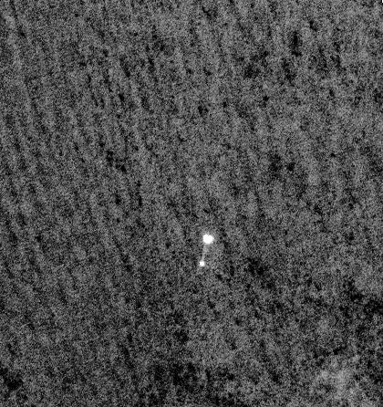
NASA's Mars Phoenix Lander can be seen parachuting down to Mars, in this image captured by the High Resolution Imaging Science Experiment (HiRISE) camera on NASA's Mars Reconnaissance Orbiter on May 25, 2008. This is the first time that a spacecraft has imaged the final descent of another spacecraft onto a planetary body.
Feet Back on the Ground
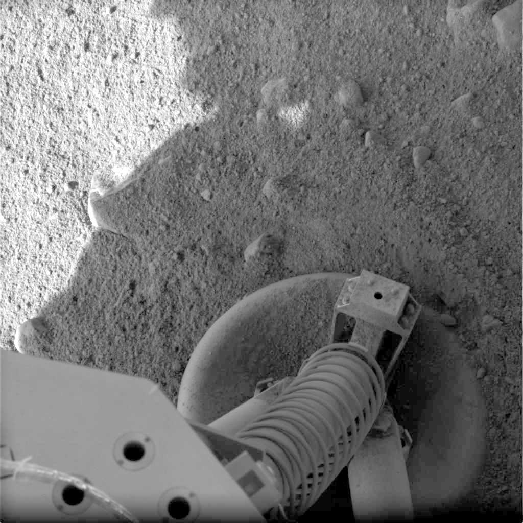
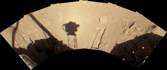
This image is a combination of several taken by the Stereo Surface Imager Left of the footpad of NASA's Phoenix Mars Lander after its successful May 25, 2008 landing in the Martian arctic.
Huge Tracts of Land
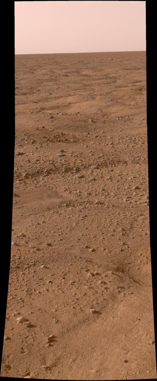
This image, one of the first captured by NASA's Phoenix Mars Lander, shows the vast plains of the northern polar region of Mars just after landing on May 25, 2008. The flat landscape is strewn with tiny pebbles and shows polygonal cracking, a pattern seen widely in Martian high latitudes and also observed in permafrost terrains on Earth.
Crackin' Up
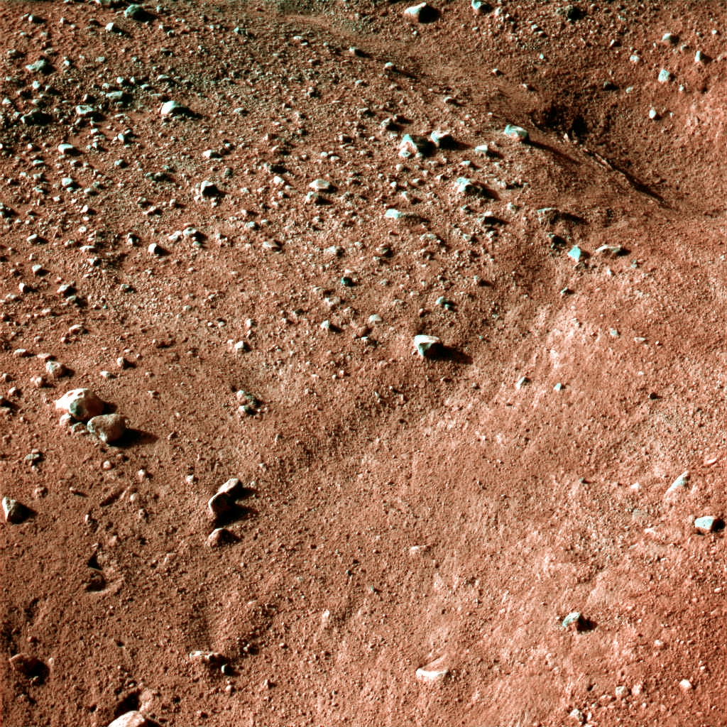
This image shows a polygonal pattern in the ground near NASA's Phoenix Mars Lander, similar in appearance to icy ground in the arctic regions of Earth. This is an approximate-color image taken shortly after landing on May 25, 2008.
The Ground Beneath My Feet
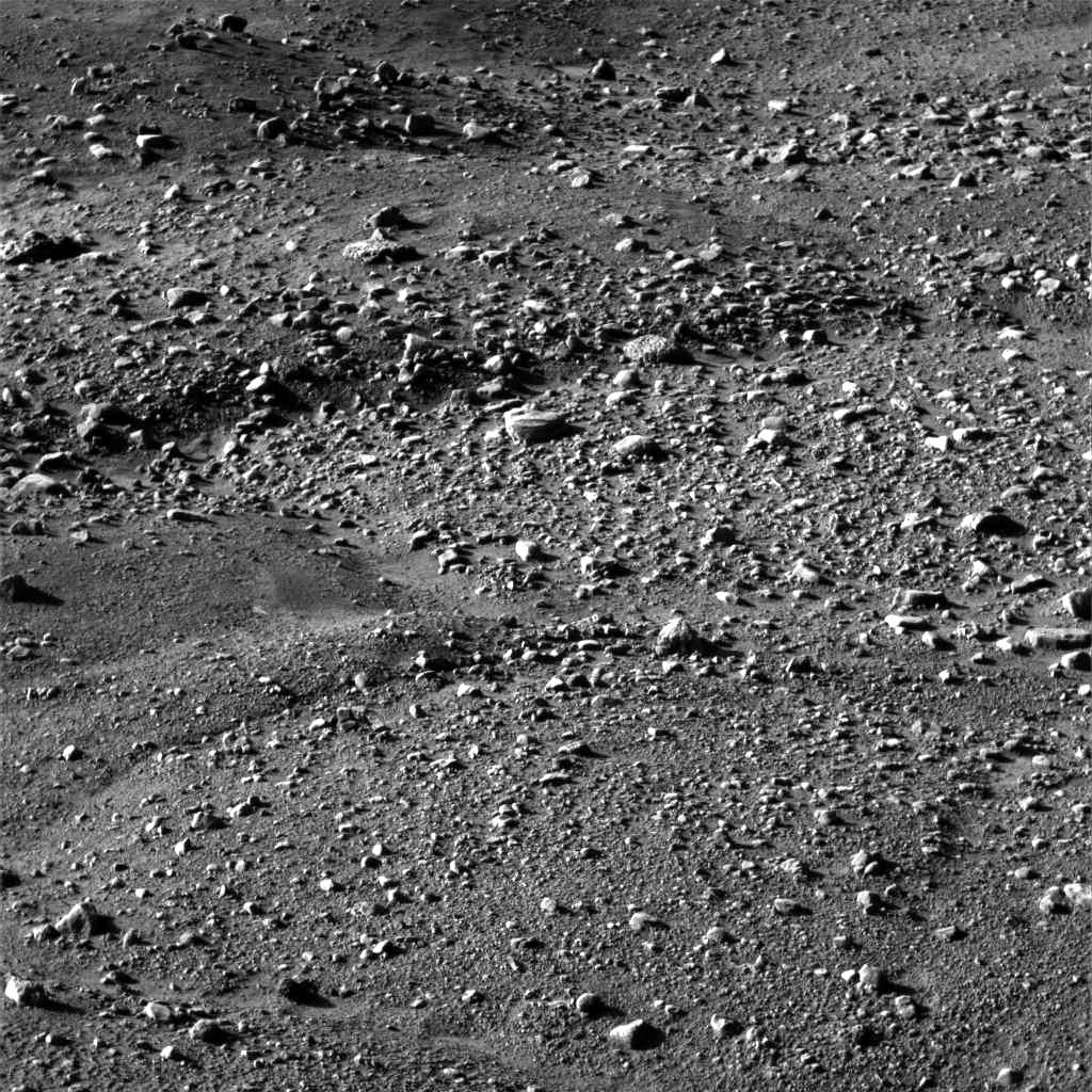
The Surface Stereo Imager Right on NASA's Phoenix Mars Lander acquired this image of surrounding terrain at 17:12:26 local solar time at the Phoenix site on the mission's Martian day (or "sol") 0, after a May 25, 2008 landing.
Power
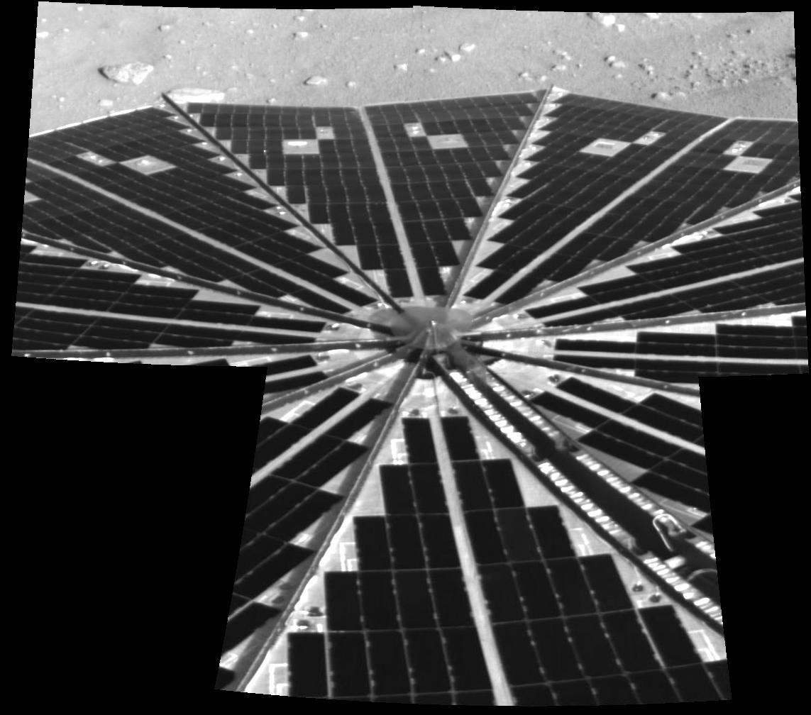
One of Phoenix Mars Lander's two octagonal solar panels, which open like two handheld, collapsible fans on either side of the spacecraft, has deployed successfully here. Beyond this view, the image shows a small sliver of the north polar terrain of Mars.
Mosaic
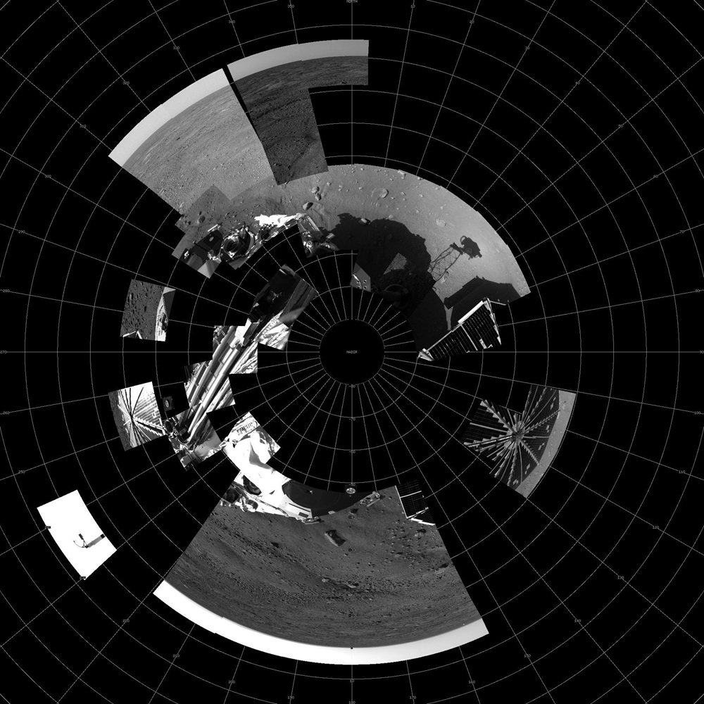
This image shows a polar projection mosaic of all data received as of the end of sol 2 from the right eye of the Surface Stereo Imager (SSI) instrument on board the Phoenix lander.
Get the Space.com Newsletter
Breaking space news, the latest updates on rocket launches, skywatching events and more!
How I See It
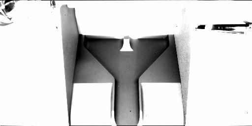
This image was acquired at the Phoenix landing site on day 2 of the mission on the surface of Mars, or Sol 1, after the May 25, 2008, landing. The robotic arm camera acquired this image at 14:02:07 local solar time. The camera pointing was elevation 10.1996 degrees and azimuth 42.3288 degrees.
Here We Are
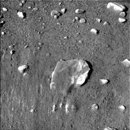
This image was acquired at the Phoenix landing site on day 2 of the mission on the surface of Mars, or Sol 1, after the May 25, 2008, landing. The surface stereo imager right acquired this image at 14:28:44 local solar time. The camera pointing was elevation -39.1158 degrees and azimuth 7.49509 degrees.
Put It All Together
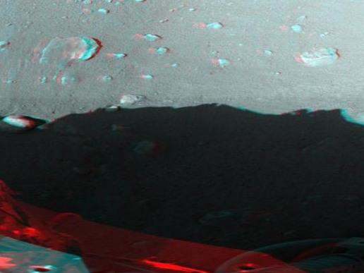
This image mosaic was acquired by the surface stereo imager left instrument of the Phoenix spacecraft on the surface of Mars. It was taken between 2008-05-26T22:08:17.393 and 2008-05-26T22:32:18.515 local time. This mosaic is presented in a cylindrical-perspective projection.
Armed and Ready
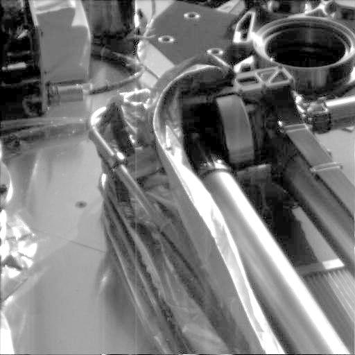
Phoenix's robotic arm sits in its stowed configuration, with its biobarrier successfully unpeeled. The "elbow" of the arm can be seen at top center, and the biobarrier is the shiny film seen to the left of the arm. The biobarrier protects Mars from contamination with any bacteria from Earth.
Join our Space Forums to keep talking space on the latest missions, night sky and more! And if you have a news tip, correction or comment, let us know at: community@space.com.

