Landing on Titan: Pictures from Huygens Probe on Saturn Moon
Huygens Landing Site on Titan
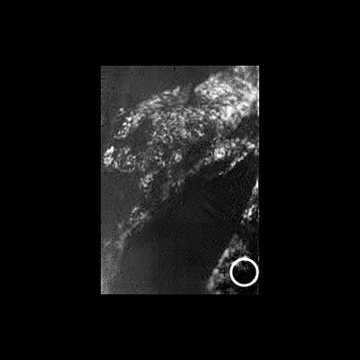
A view of Huygens probable landing site on Titan (white circle) based on initial, best-guess estimates. ESA's Huygens probe landed on Titan, Saturn's largest moon, on Jan. 14, 2005.
Huygens Landing Site on Titan from Cassini
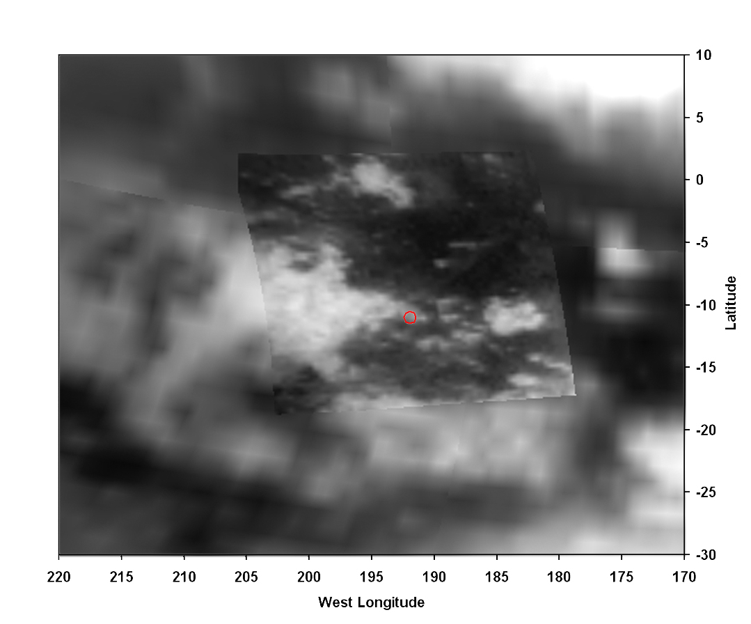
A view of Titan from the VIMS instrument on the Cassini orbiter. The Huygens probe landed in the small red circle on the boundary of the bright and dark regions on Jan. 14, 2005. The size of the circle shows the field of view of the Huygens DISR imager from an altitude of 20 kilometers.
Titan Pebbles
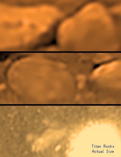
This image of Titan’s surface was taken on Jan. 14, 2005 by the Descent Imager/Spectral Radiometer (DISR) on board ESA’s Huygens mission, after touch-down. When printed on letter sized paper, the image shows the size of Titan’s pebbles in their true size.
On Titan: The View from ESA's Huygens

This composite was produced from images returned on Jan. 14, 2005, by ESA's Huygens probe during its successful landing on Titan. It shows a full 360-degree view around Huygens. The left-hand side, behind Huygens, shows a boundary between light and dark areas. The white streaks seen near this boundary could be ground 'fog' of methane or ethane vapour.
On Titan: First images from Huygens Probe
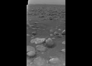
This raw image was returned by the ESA Huygens DISR camera after the probe descended through the atmosphere of Titan on Jan. 14, 2005. It shows the surface of Titan with what could be blocks of ice strewn around. The size and distance of the blocks will be determined when the image is properly processed.
Time-Lapse Descent on Titan
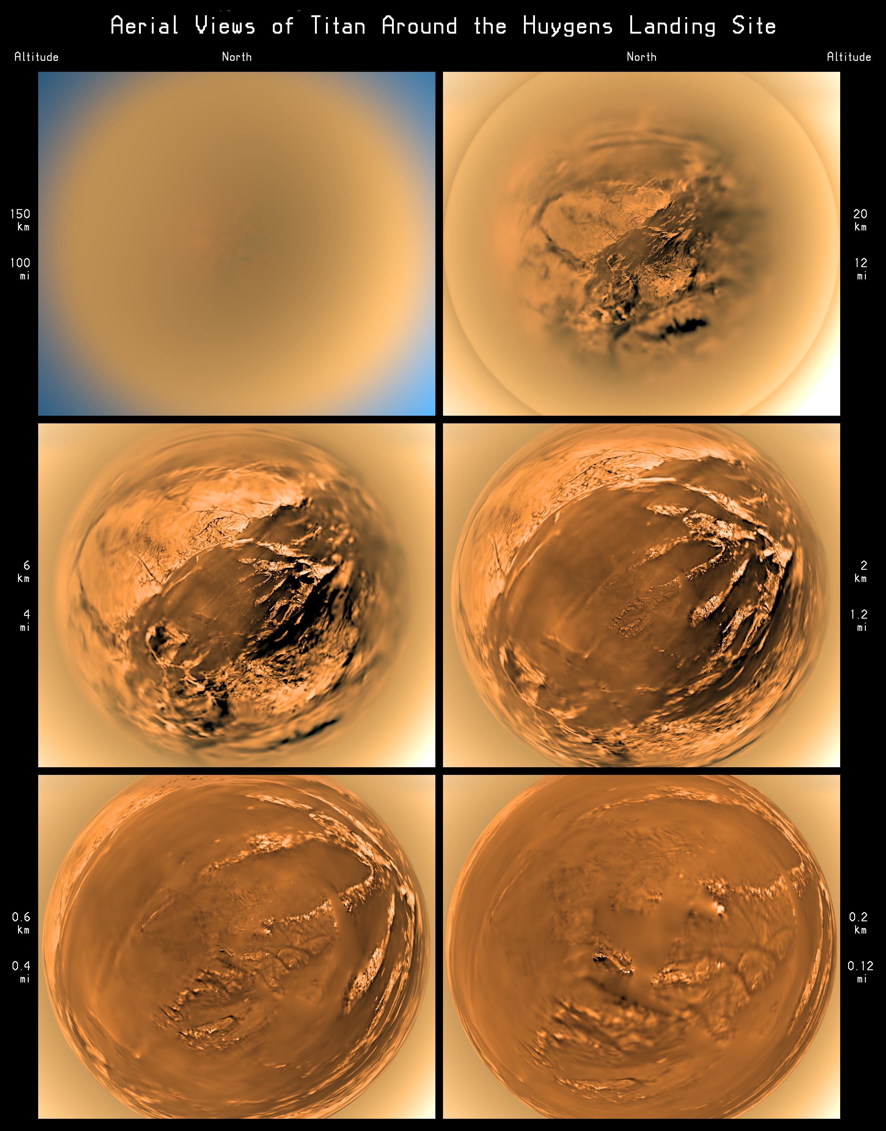
These stereographic (fish-eye) images of Titan’s surface were taken during descent by the Descent Imager/Spectral Radiometer (DISR) on board ESA’s Huygens probe, on Jan. 14, 2005. This view shows the surface from 6 different altitudes and the haze layer at 20-21 kilometers altitude.
Shoreline on Titan by Huygens
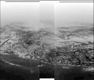
This composite was produced from images returned on 14 January 2005, by ESA's Huygens probe during its successful descent to land on Titan. It shows the boundary between the lighter-colored uplifted terrain, marked with what appear to be drainage channels, and darker lower areas. These images were taken from an altitude of about 8 kilometers with a resolution of about 20 meters per pixel.
Get the Space.com Newsletter
Breaking space news, the latest updates on rocket launches, skywatching events and more!
Titan Mosaic by Huygens Probe
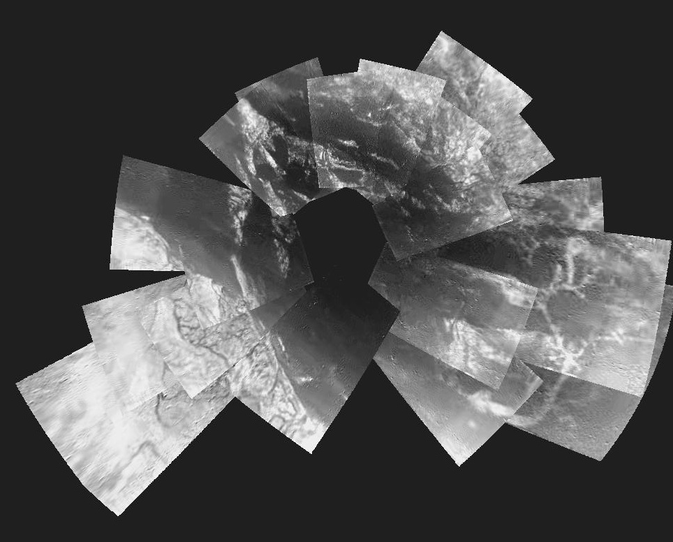
This picture is a composite of 30 images from ESA's Huygens probe on Jan 14, 2005. They were taken from an altitude varying from 13 kilometers down to 8 kilometers when the probe was descending towards its landing site.
Join our Space Forums to keep talking space on the latest missions, night sky and more! And if you have a news tip, correction or comment, let us know at: community@space.com.

Space.com is the premier source of space exploration, innovation and astronomy news, chronicling (and celebrating) humanity's ongoing expansion across the final frontier. Originally founded in 1999, Space.com is, and always has been, the passion of writers and editors who are space fans and also trained journalists. Our current news team consists of Editor-in-Chief Tariq Malik; Editor Hanneke Weitering, Senior Space Writer Mike Wall; Senior Writer Meghan Bartels; Senior Writer Chelsea Gohd, Senior Writer Tereza Pultarova and Staff Writer Alexander Cox, focusing on e-commerce. Senior Producer Steve Spaleta oversees our space videos, with Diana Whitcroft as our Social Media Editor.

