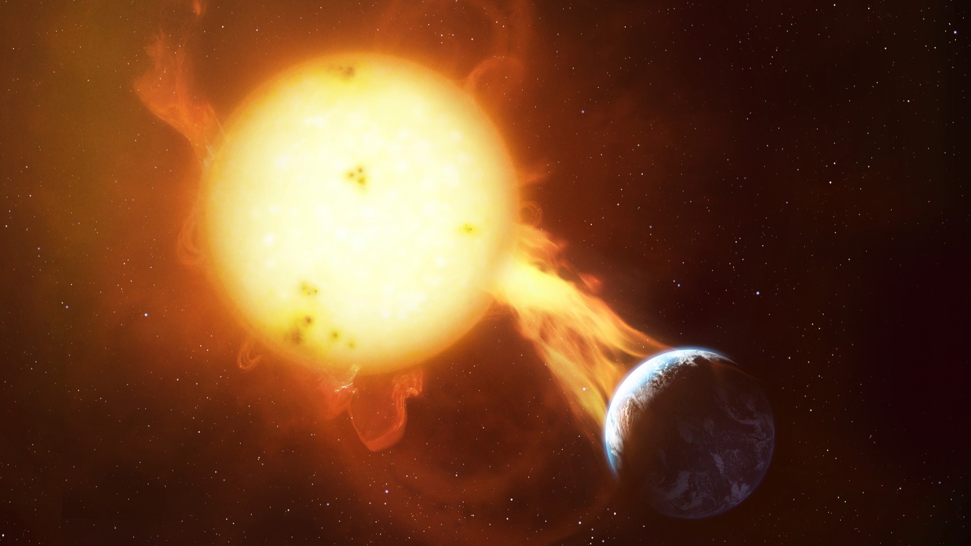
Mercury Photos from NASA's Messenger Probe - Part 2 (April 2011 through 2012)
V for Victoria
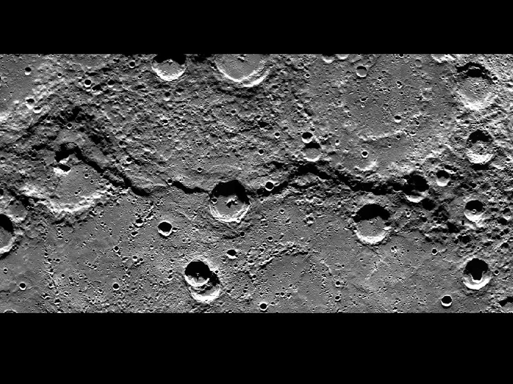
This image is a portion of the MDIS global mosaic basemap that was acquired during MESSENGER's first year in orbit. This image was taken Feb. 10, 2012.
As Goethe as It Gets
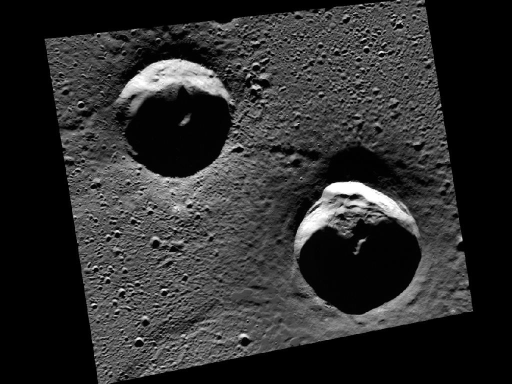
The two large craters in this scene are located in Goethe basin, a 383-km-diameter basin in the northern plains of Mercury. Portions of these craters are in areas of permanent shadow and host radar-bright materials. This image was taken March 29, 2012.
Debussy (red), Debussy (green), Debussy (blue)
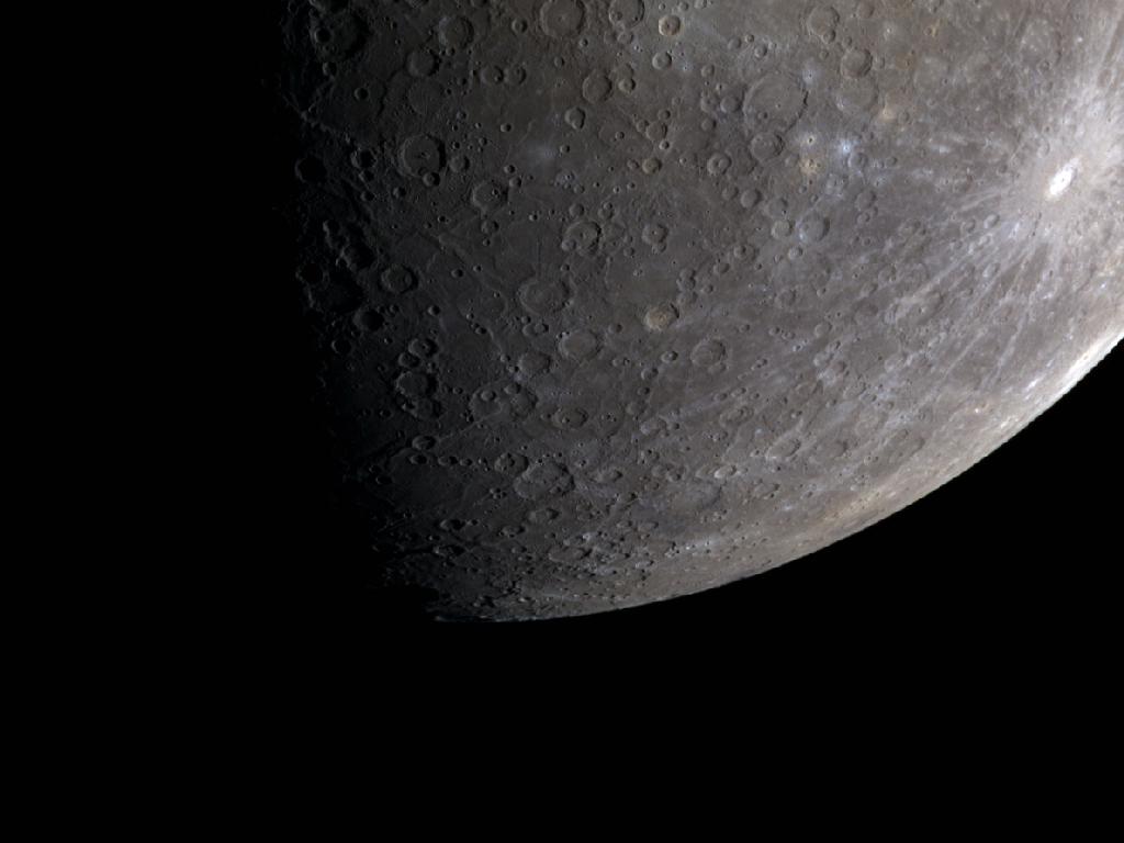
This color image of Mercury's limb captures Debussy, a crater 80 km (50 mi.) in diameter, as well as some if its extensive rays. This image was taken March 21, 2012.
Sneek Peek at a Peak
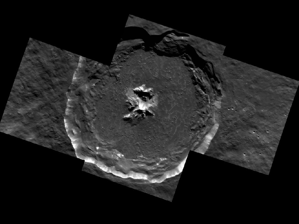
Degas crater is shown here in spectacular detail. This high-resolution mosaic is made up of five separate images. The floor of the crater contains cracks that formed as the melt sheet cooled and contracted. The images were taken April 7, 2012.
The High-Incidence Campaign
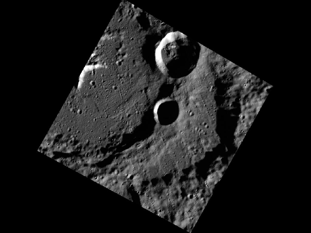
The high-incidence campaign compliments the surface morphology base map of MESSENGER's primary mission, which was acquired under generally more moderate incidence angles. The images were taken April 11, 2012.
A Crack in the Floor
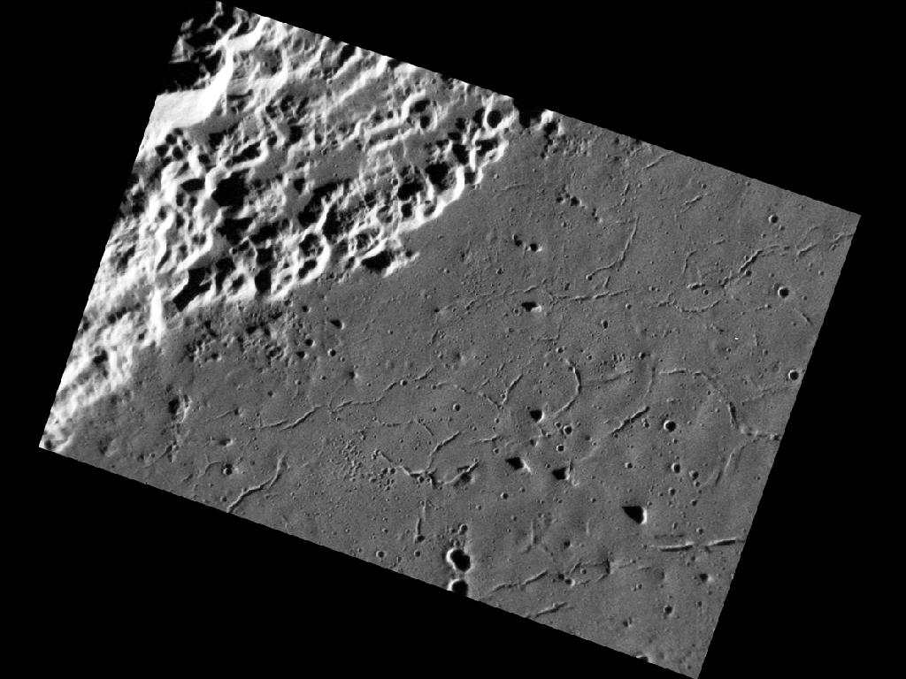
In this image, a portion of the 116 km- (73 mile-) diameter Abedin crater is visible. The floor of the crater is generally smooth, and hosts many small troughs that are interpreted to be graben. Graben form as the result of extensional (i.e. pull-apart) stresses, which in this case may have resulted from the cooling and solidification of either impact melt or volcanic fill inside Abedin, similar to that seen in other basins across Mercury. Image released Jan. 27, 2012.
Complex Crater on Mercury
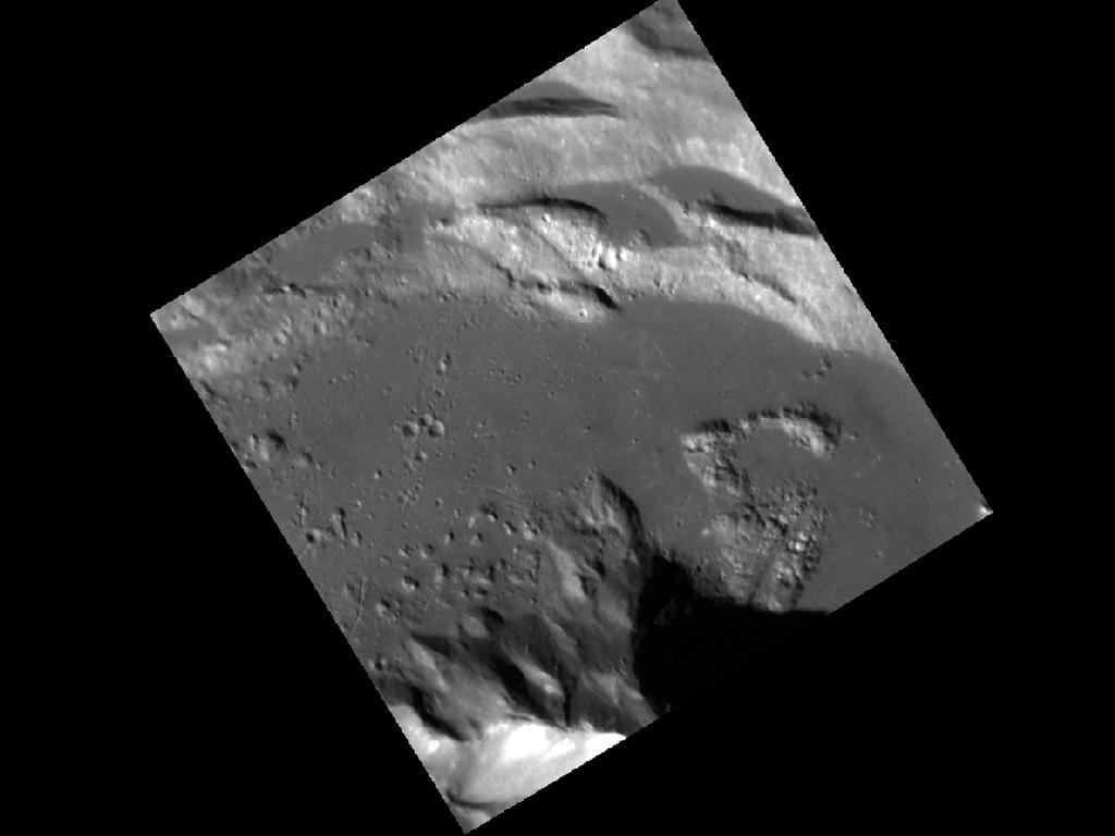
This image, taken with the Narrow Angle Camera (NAC), gives us a spectacular close-up look at an unnamed complex crater in Mercury's northern hemisphere. At the top we see wall terraces containing ponds of impact melt. At the bottom is the crater's central peak, which displays bright material and possibly hollows near its summit. Image released Feb. 1, 2012.
Get the Space.com Newsletter
Breaking space news, the latest updates on rocket launches, skywatching events and more!
Moving in Stereo
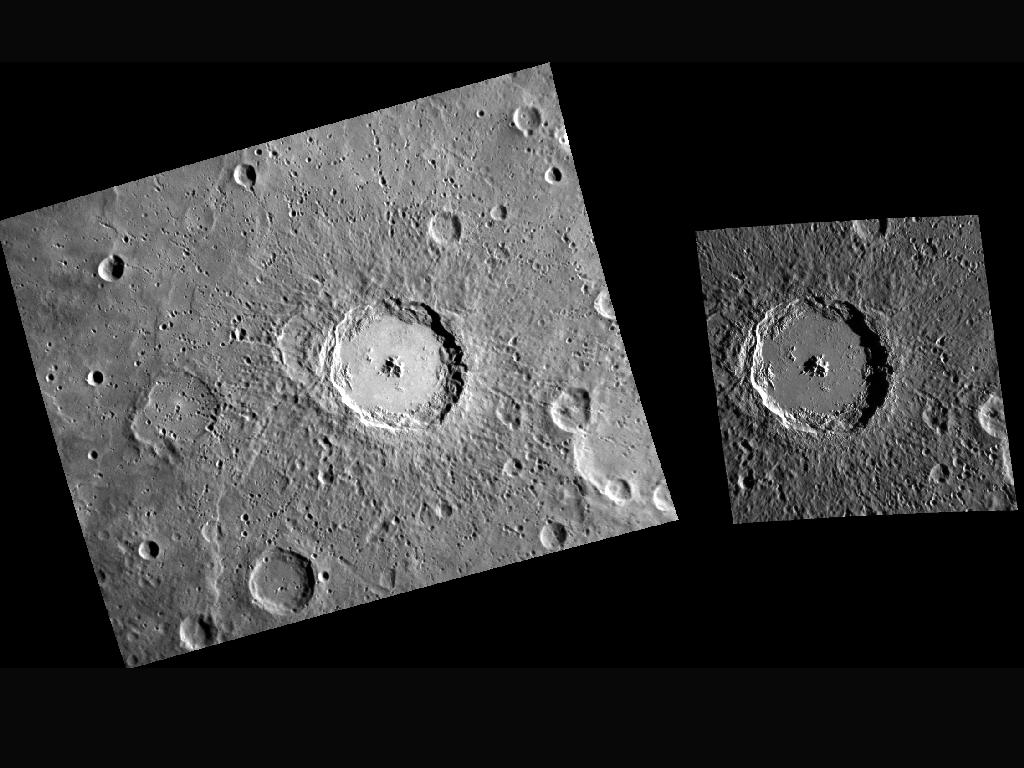
Here we have two images of the impact crater named Debussy. The one on the left is from MESSENGER's monochrome base map. The one on the right is a complement from the stereo base map. Because of the differing viewing perspectives, the images can be combined to derive an elevation map (digital terrain model) of the surface. The left image was released on July 31, 2011. The right image was released on Jan. 19, 2012.
Chain, Chain, Chain
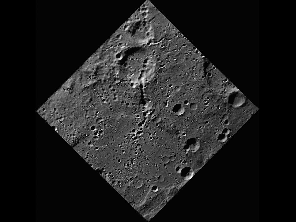
This image, captured by the Narrow Angle Camera (NAC), shows a number of trails of small craters. These trails, called secondary crater chains, are formed when ejecta from an initial impact are launched outward. As the ejecta fall back onto the planet's surface, they can form their own, often overlapping, small craters.
The Hills of Caloris
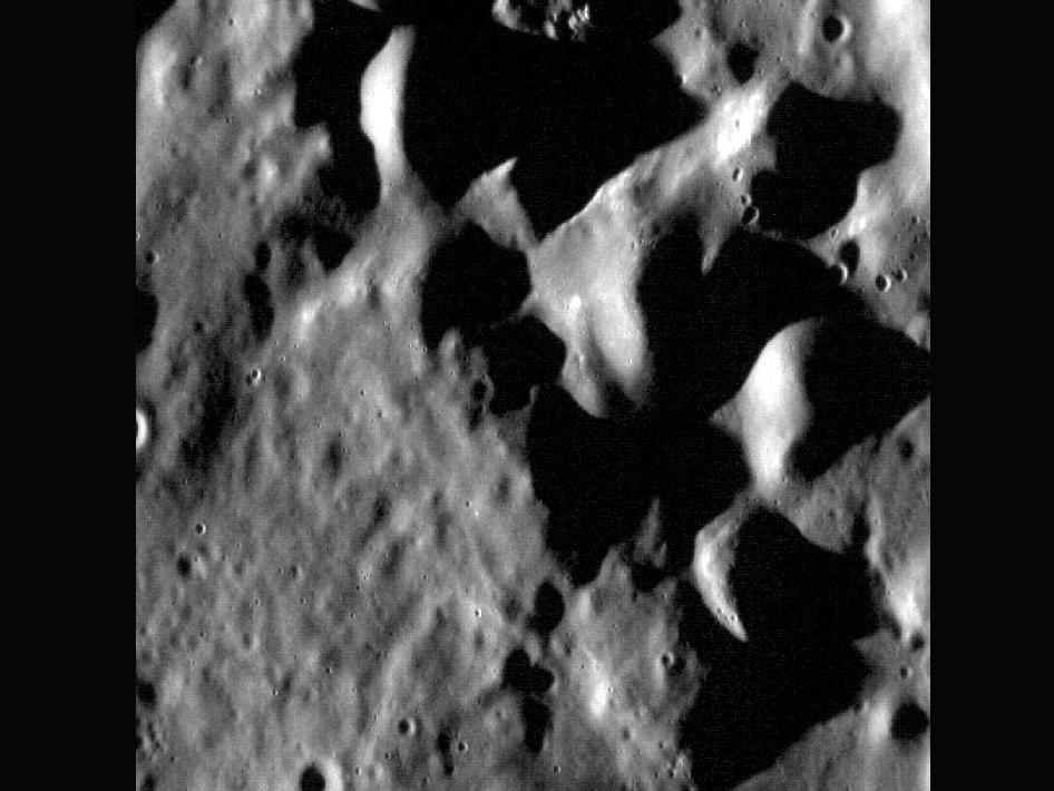
These hills make up a small portion of the southwestern rim of the 1550-km Caloris basin. This region was seen only with the sun high in the sky during MESSENGER's flybys of Mercury (and not at all by Mariner 10), so with the sun near the horizon in images like this one we are getting a great look at the surface's texture and topography.
South Pole - Take 71
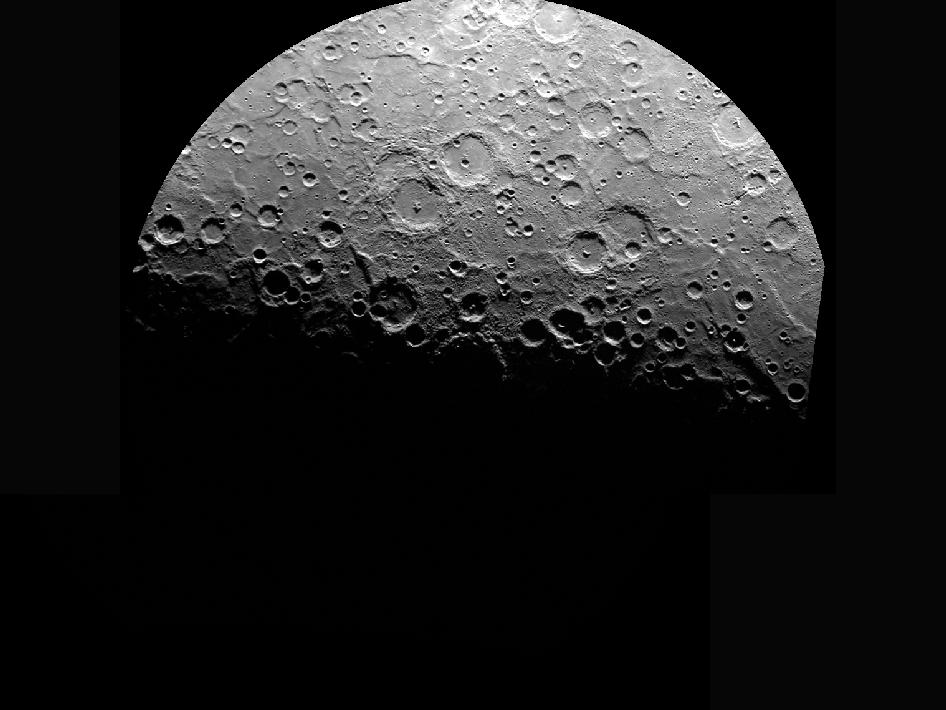
This image is shown in a polar stereographic projection, with the south pole at the center, 0° longitude at the top, and 90° E longitude to the right. The image extends to -70° S latitude in all directions. Compare this image to ones obtained earlier in the mission, on April 13, 2011, and May 4, 2011.
Join our Space Forums to keep talking space on the latest missions, night sky and more! And if you have a news tip, correction or comment, let us know at: community@space.com.

Space.com is the premier source of space exploration, innovation and astronomy news, chronicling (and celebrating) humanity's ongoing expansion across the final frontier. Originally founded in 1999, Space.com is, and always has been, the passion of writers and editors who are space fans and also trained journalists. Our current news team consists of Editor-in-Chief Tariq Malik; Editor Hanneke Weitering, Senior Space Writer Mike Wall; Senior Writer Meghan Bartels; Senior Writer Chelsea Gohd, Senior Writer Tereza Pultarova and Staff Writer Alexander Cox, focusing on e-commerce. Senior Producer Steve Spaleta oversees our space videos, with Diana Whitcroft as our Social Media Editor.
