Floods & Drought: NASA Satellites Map 'Tale of 2 Countries' in US
Floods ravage Texas while drought parches California. Areas of the Midwest get as much as 6 feet of rainfall. It has been a wild 2015 for United States weather, and more changes are coming when El Niño takes hold in the Pacific, a NASA scientist said.
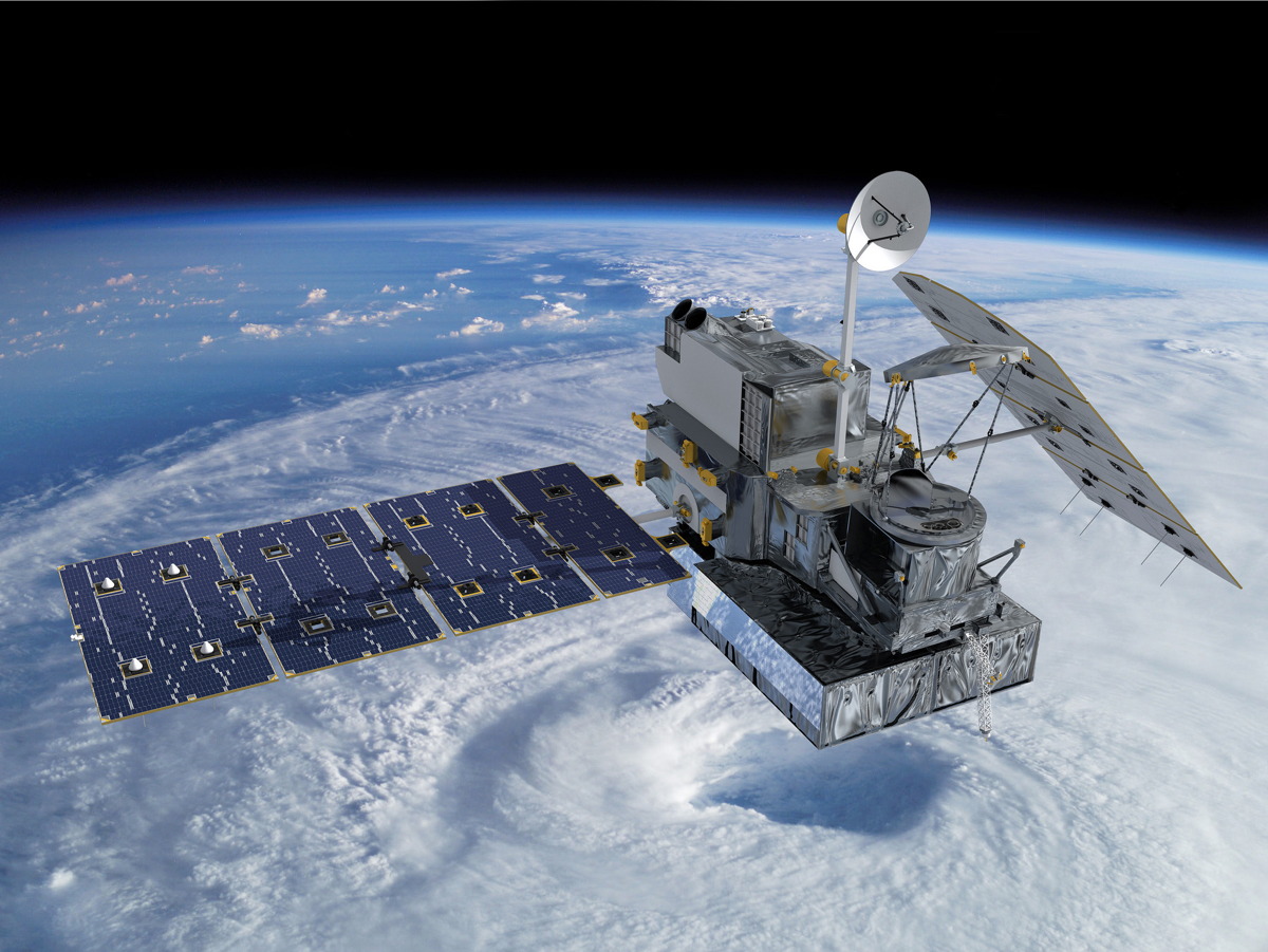
The agency has 20 Earth-monitoring satellites in orbit examining the planet and providing statistics on rainfall, ground water and cloud cover. A new addition to the fleet in 2014, the Global Precipitation Measurement (GPM) satellite, is the first to provide a planet-wide view of rainfall and snowfall every three hours.
"That's been providing an unprecedented look at the way in which rainfall has given us a tale of two countries this year," Doug Morton, a physical scientist at NASA's Goddard Space Flight Center in Maryland, told Space.com in a video interview. [Photos: NASA's Rain-Tracking GPM Satellite Mission in Pictures]
"I'm also interested in taking that information and combining it with other measurements, like NASA's GRACE satellites," he said.
GRACE, which stands for Gravity Recovery and Climate Experiment, is a pair of satellites launched in 2002. The distance between the two satellites changes as they orbit the Earth due to changes in gravity density below. Water can increase the gravity in a local area, so the satellites can act as a tool for NASA to measure precipitation across the world.
"As a scientist, I'm using that information to understand the long-term memory of rain in the soil that allows us to look at the ways in which drought conditions are predisposed in some regions. like California or the southern Amazon, to stronger and longer fire seasons," Morton said.
California and the southwest U.S. could see more rainfall as the large recurring band of warm water El Niño develops and strengthens in the east Pacific. As warm water is stored off the coast of South America, it moves the fast-flying current of air in the upper atmosphere, the jet stream, farther north and encourages rainfall in the Southwest and West Coast of the U.S. In contrast, other regions of the Earth such as Indonesia will experience less rainfall, Morton said.
Get the Space.com Newsletter
Breaking space news, the latest updates on rocket launches, skywatching events and more!
The agency is combining the data from its satellites with computer models to make predictions about long-term climate trends, such as more drought during North American summers, he added. More information about NASA's Earth observation program is available at www.nasa.gov/earth.
Follow Elizabeth Howell @howellspace, or Space.com @Spacedotcom. We're also on Facebook and Google+. Original article on Space.com.
Join our Space Forums to keep talking space on the latest missions, night sky and more! And if you have a news tip, correction or comment, let us know at: community@space.com.

Elizabeth Howell (she/her), Ph.D., was a staff writer in the spaceflight channel between 2022 and 2024 specializing in Canadian space news. She was contributing writer for Space.com for 10 years from 2012 to 2024. Elizabeth's reporting includes multiple exclusives with the White House, leading world coverage about a lost-and-found space tomato on the International Space Station, witnessing five human spaceflight launches on two continents, flying parabolic, working inside a spacesuit, and participating in a simulated Mars mission. Her latest book, "Why Am I Taller?" (ECW Press, 2022) is co-written with astronaut Dave Williams.


