Nuclear Bomb Test Moved North Korea Mountain, Satellite Images Show

North Korea conducted its latest nuclear test at Punggye-ri on Sept. 3, and it was the most massive one yet, registering on sensors as a 6.3-magnitude earthquake. Around 8 minutes later, geologists detected a smaller rumbling of 4.1 magnitude that got scientists speculating: Could the nuclear test site, hidden inside a mountain, have collapsed?
A massive collapse could render the test site useless for future nuclear tests and may even increase the risk of radioactive gases escaping from the rock and into the air, scientists said.
The case for this so-called "tired mountain syndrome" was bolstered three weeks ago, when North Korea announced that it planned to shut the main testing facility at Mount Mantap where five of the six tests, including the last explosion, took place. A few weeks ago, a group of Chinese geologists claimed in a study published in Geophysical Research Letters that the mountain had collapsed following the latest nuclear test.
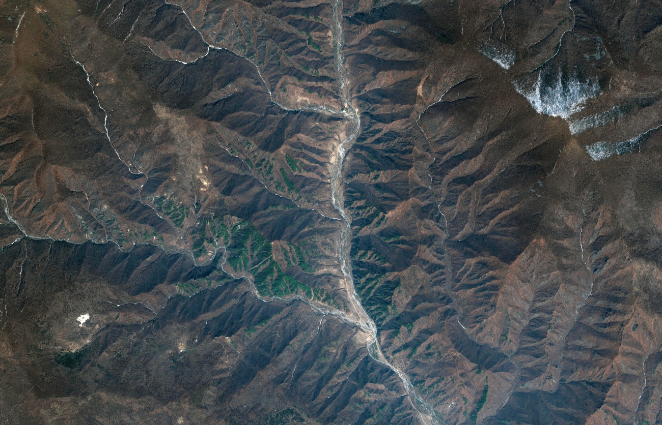
Now, scientists reporting today (May 10) in the journal Science have used satellite images to find that Mount Mantap indeed moved and compressed following the explosion. But according to the scientists, the mountain and test sites probably didn't collapse completely. [7 Strange Cultural Facts About North Korea].
Previously, scientists have gauged nuclear explosions by the ground shaking the blasts produced, using seismic data similar to how earthquakes are measured. But in this new study, the team analyzed satellite images taken by the German TerraSar-X satellite and Japan's ALOS-2 satellites, and compared the landscape of Mount Mantap before and after the explosion. These satellites use what's called a synthetic aperture radar, which beams electromagnetic waves down to Earth and then measures the reflected light, according to the National Oceanic and Atmospheric Administration. By doing so, the technology can create high-resolution images even under suboptimal conditions of bad weather (because microwaves can penetrate clouds) and low light.
Using these images, the team found that Mount Mantap moved by around 11.5 feet (3.5 meters) and shrank by 1.6 feet (0.5 m). This may indicate a collapse of tunnels in the mountain according to Teng Wang, senior research fellow at the Earth Observatory of Singapore in the Nanyang Technological University and the first author of the paper.
"But we could not tell if this is the [complete] collapse of the whole test site or the collapse of the tunnel, as there is no direct evidence for it," Wang said. People would need to investigate on-site to figure that out, he added.
Get the Space.com Newsletter
Breaking space news, the latest updates on rocket launches, skywatching events and more!
The team also analyzed seismic data and found that the direction the waves traveled was exactly the opposite of the actual explosion. So, since the explosion would have been outward, the second 4.1-magnitude rumbling might have been inward, indicating a collapse as the previous study did.
But the ground shaking could have resulted from the collapse of a void in the rocks that was created by a previous explosion or even the most recent explosion, said Douglas Dreger, an Earth and planetary science professor at the University of California, Berkeley, and co-author of the paper. Or, he added, it could have been a tunnel, a partial tunnel, or a multiple tunnels.
"I wouldn't say that the whole mountain collapsed, I wouldn't draw the catastrophic conclusion," Dreger said.
The researchers estimated that the strength of the explosion was about 120 to 304 kilotons, or 10 times that dropped on Hiroshima, according to a statement. (Other estimates differ, with one saying it was as strong as 17 times that of Hiroshima, according to The Washington Post).
Wang hopes this study will push forward the use of satellite imaging to research underground nuclear tests.
Originally published on Live Science.
Join our Space Forums to keep talking space on the latest missions, night sky and more! And if you have a news tip, correction or comment, let us know at: community@space.com.


