Hurricane Florence in Photos: See the Massive Storm from Space
Astronaut's View of Hurricane Florence
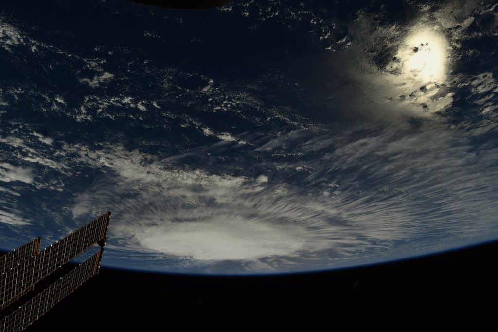
Another photo of Florence taken by Ricky Arnold from the ISS on Sept. 6, 2018. [Full Story: Hurricane Florence Looks Like a Giant Cotton Ball in This Astronaut Photo from Space]
Florence Gains Strength
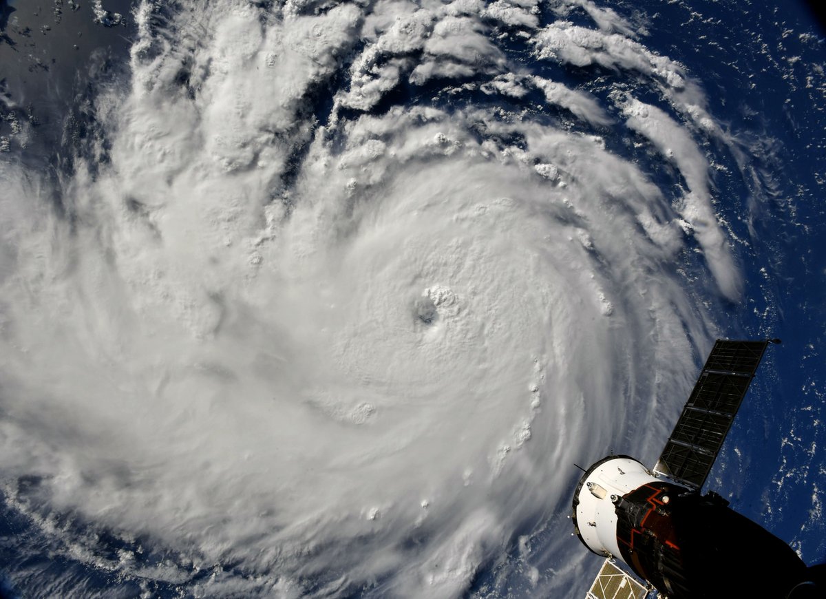
NASA astronaut Ricky Arnold captured this photo of Hurricane Florence from the International Space Station on the morning of Sept. 10, 2018, shortly before the Category 3 storm was upgraded to a Category 4.
Florence Strengthens to Category 4
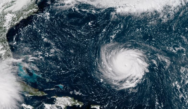
Hurricane Florence heads for the U.S. East Coast as a Category 4 storm in this satellite image shared by the National Hurricane Center on Sept. 10, 2018.
GOES-East Satellite View on Sept. 4
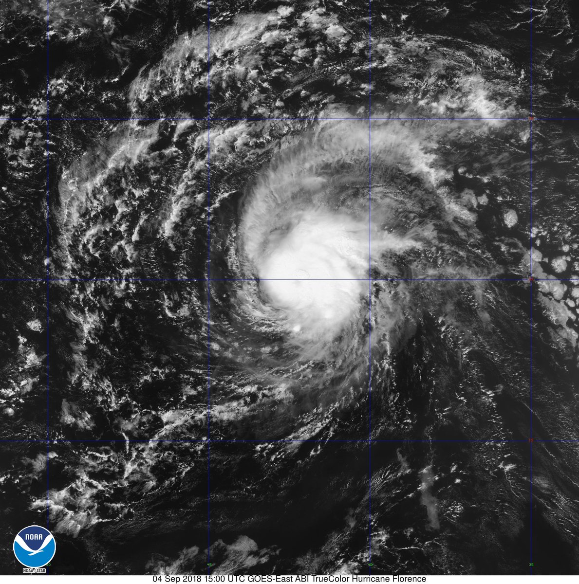
Tropical storm Florence was upgraded to hurricane status on Sept. 4, 2018, as it barreled across the Atlantic Ocean. NOAA's GOES-East satellite captured this true-color view of the storm at 11 a.m. EDT (1500 GMT).
Aqua Satellite View
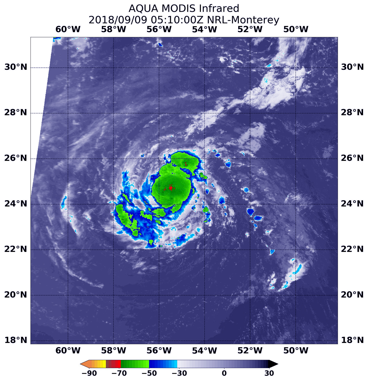
NASA's Aqua satellite captured this infrared image of Hurricane Florence on Sept. 9, 2018, at 1:10 a.m. EDT (0510 UTC) using the Moderate Resolution Imaging Spectroradiometer (MODIS) instrument.
Florence Brings Heavy Rains
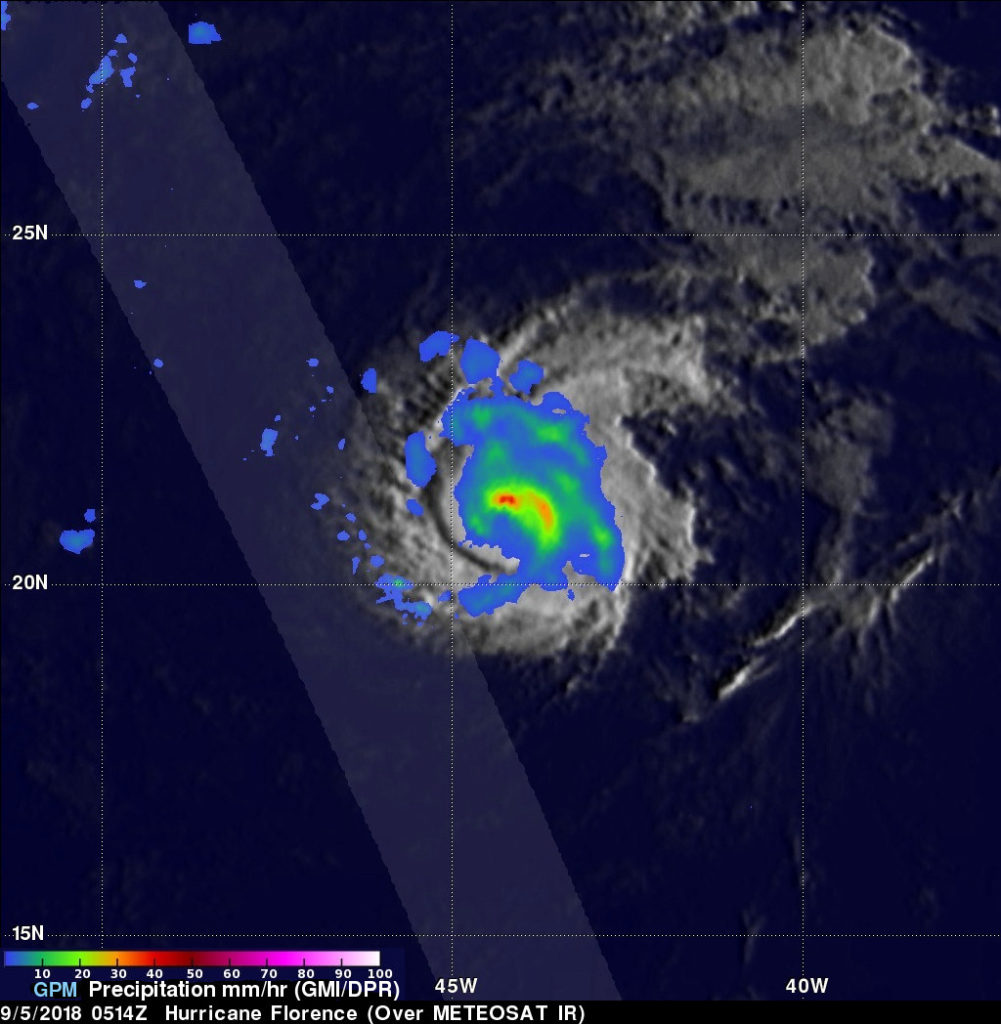
On Sept. 5, 2018, the JAXA-NASA GPM Core Observatory satellite revealed that storms north of Hurricane Florence's eye were producing heavy rainfall at a rate of 2 inches (5 centimeters) per hour (red). The satellite's Dual-frequency Precipitation Radar instrument scanned the nearly rain-free areas to the west of the hurricane.
Observing Florence in Infrared
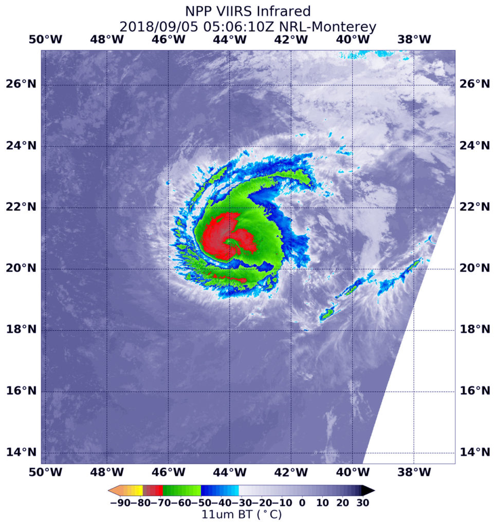
On Sept. 5, 2018, at 1:06 a.m. EDT (0506 GMT), the VIIRS instrument aboard the NASA-NOAA Suomi-NPP satellite provided an infrared image of Hurricane Florence. The strongest thunderstorms with the coldest cloud tops appear in red.
Get the Space.com Newsletter
Breaking space news, the latest updates on rocket launches, skywatching events and more!
Not An Illusion
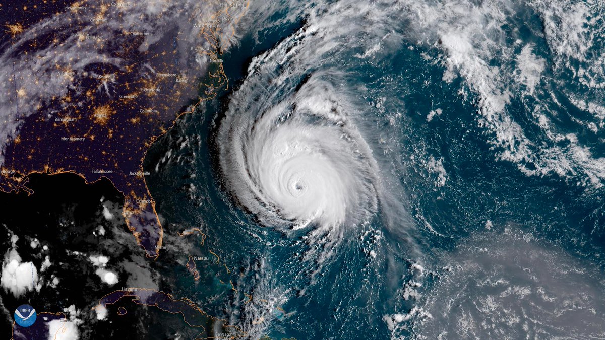
Hurricane Florence approaches the East Coast of the United States. Even from space the storm looks gigantic.
Dramatic View
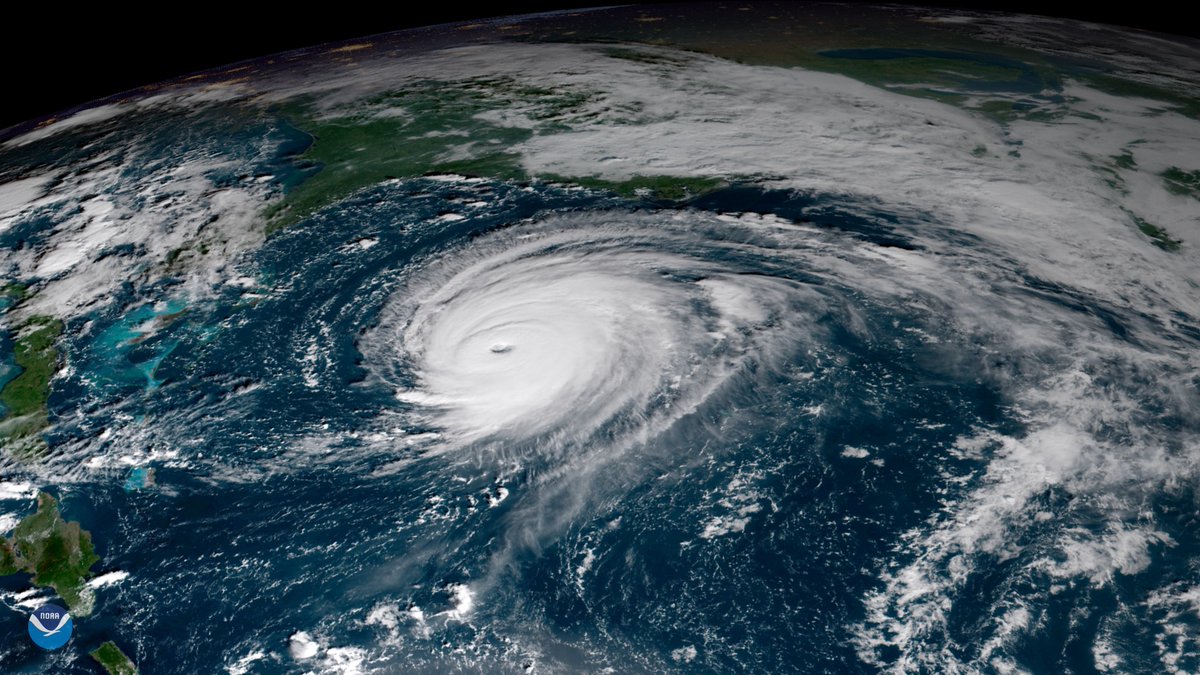
From the GOES East satellite, this image of Hurricane Florence shows the large size of the storm as it approaches the U.S.'s East Coast.
Another Dramatic Angle
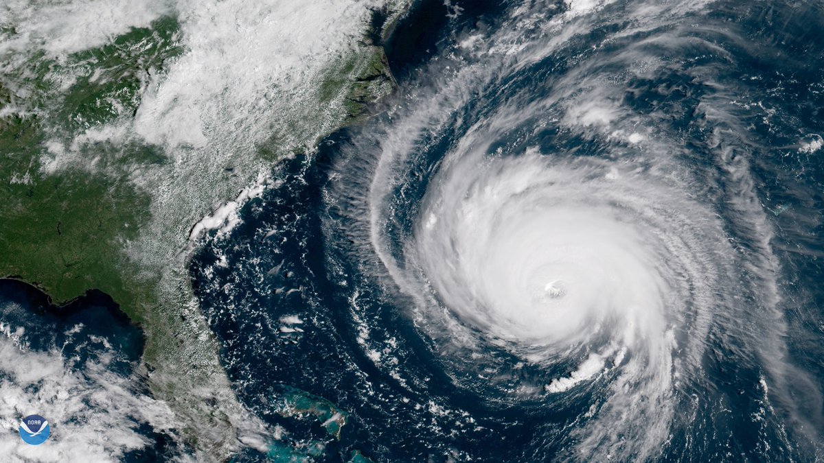
Seen from the Goes East satellite on Sept. 12, 2018, Hurricane Florence barrels toward the East Coast.
Join our Space Forums to keep talking space on the latest missions, night sky and more! And if you have a news tip, correction or comment, let us know at: community@space.com.

Hanneke Weitering is a multimedia journalist in the Pacific Northwest reporting on the future of aviation at FutureFlight.aero and Aviation International News and was previously the Editor for Spaceflight and Astronomy news here at Space.com. As an editor with over 10 years of experience in science journalism she has previously written for Scholastic Classroom Magazines, MedPage Today and The Joint Institute for Computational Sciences at Oak Ridge National Laboratory. After studying physics at the University of Tennessee in her hometown of Knoxville, she earned her graduate degree in Science, Health and Environmental Reporting (SHERP) from New York University. Hanneke joined the Space.com team in 2016 as a staff writer and producer, covering topics including spaceflight and astronomy. She currently lives in Seattle, home of the Space Needle, with her cat and two snakes. In her spare time, Hanneke enjoys exploring the Rocky Mountains, basking in nature and looking for dark skies to gaze at the cosmos.

