China Launches New Earth-Mapping Satellite
AChinesemapping satellite is circling Earth after launching on a Long MarchrocketTuesday, according to official media reports.
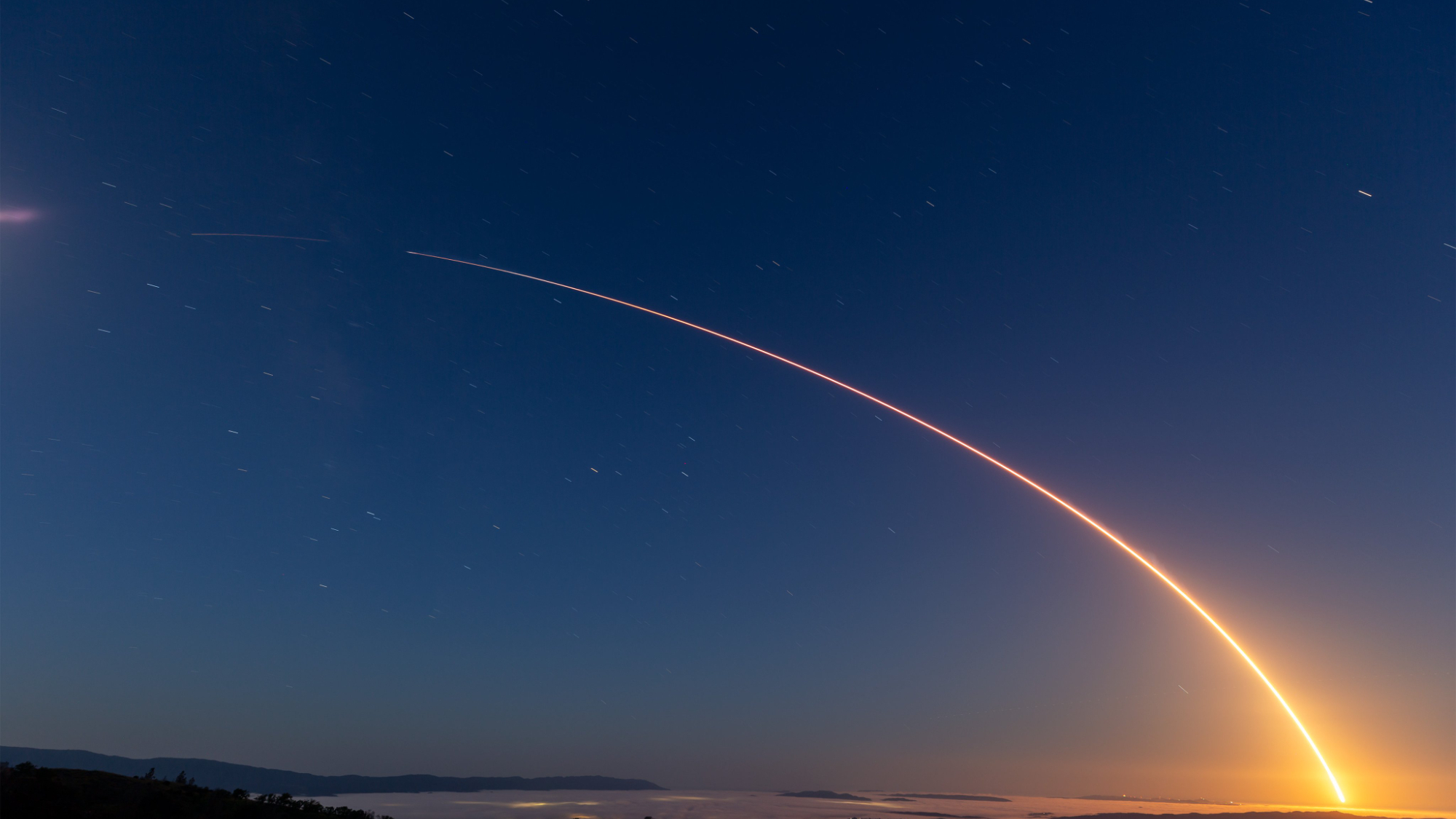
TheTianhui1 satellite was released in a circular orbit more than 300 miles aboveEarthfollowing liftoff aboard a LongMarch 2D boosterat 0710 GMT (3:10a.m. EDT).
The13-storyrockettook offfrom the Jiuquanlaunching base near the border of northern China's Inner Mongolia andGansuprovinces, according to the state-run Xinhua news agency.
Liftoffoccurred at 3:10 p.m. Chinese time.
Thetwo-stage launch vehicle deployed Tianhui 1 on a trajectory overEarth's poleswith an inclination of approximately 97 degrees.
Authoritieswill use Tianhui 1 for scientific research, mapping and land resourcesurveysto help promote economic development, according to a statement on theChineseMinistry of Defense website.
Thesatellitewas developed by a company under the China Aerospace Science andTechnologyCorp., Xinhua reported.
Get the Space.com Newsletter
Breaking space news, the latest updates on rocket launches, skywatching events and more!
Tuesday'sflight was the seventh Chinesespace launchof the year and the40th rocket to reach orbit worldwide in 2010. It was the 13th missionfor aLong March 2D rocket since 1992.
- TheBest Manned Spaceships of All Time
- MakingHistory: China's First Human Spaceflight
- FirstPiece Of Chinese Space Station Assembled For 2011 Launch
Join our Space Forums to keep talking space on the latest missions, night sky and more! And if you have a news tip, correction or comment, let us know at: community@space.com.
Stephen Clark is the Editor of Spaceflight Now, a web-based publication dedicated to covering rocket launches, human spaceflight and exploration. He joined the Spaceflight Now team in 2009 and previously wrote as a senior reporter with the Daily Texan. You can follow Stephen's latest project at SpaceflightNow.com and on Twitter.


