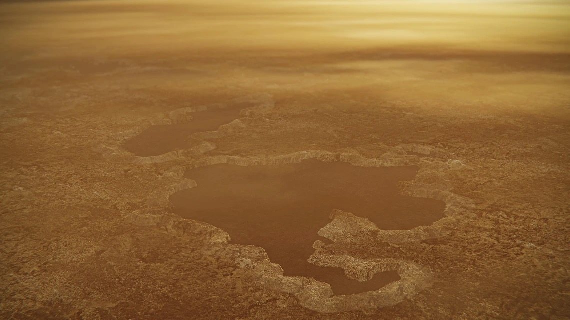
Ancient ruins are under threat. Here's how archaeologists are getting help from space (exclusive)
Protecting cultural heritage can start from above.
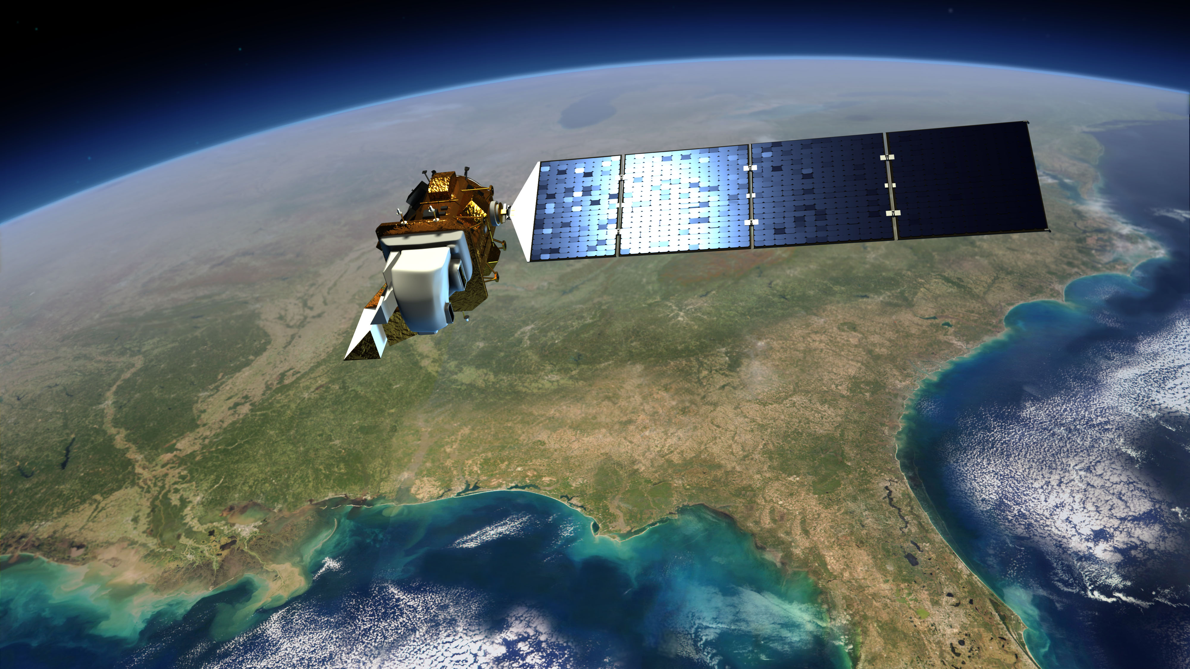
Space archaeology needs to mix new and old missions to protect ancient sites, scientists urged at a recent NASA conference.
Take the example of NASA's Jet Propulsion Laboratory (JPL) in Southern California. The facility is best known for helping to chart unknown worlds, leading the missions of rovers on Mars and sailing the Voyager spacecraft by all the major outer planets. "But we also look at the Earth, because the Earth is a planet, too," said Ronald Blom, retired principal scientist of JPL, at the NASA and Archaeology From Space symposium on Sept. 18, to which Space.com received an exclusive invite.
Studying our planet from space means integrating modern with historic missions. Blom praised the forthcoming Synthetic Aperture Radar Mission — a joint effort of NASA and the Indian Space Research Organisation — as one effort archaeologists are looking forward to when it launches in 2025. Radar can chart changes to coastlines and other aspects of Earth's surface, providing context for archaeology sites on a wider scale.
But Blom also urged scientists to continue plumbing data from older space missions, even if they are from retired spacecraft like the space shuttle, and even if archival footage has lower resolution than today's data. Information from the shuttle's Radar Topographic Mapper on a single 11-day mission in 2000, for example, "is used for many things today," Blom said. (A study of land use in Ethiopia recently published in the peer-reviewed Journal of Water Management Modeling is just one recent example.)
Related: Why space archaeologists are finding more Mayan ruins than ever before (exclusive)
One of the longest-running satellite series in the world, Landsat, allows scientists to peer back in time using machines with similar ground tracks and ever-improving resolution. Landsat is jointly managed by NASA and the U.S. Geological Survey and began observations in 1972, starting with the Earth Resources Technology Satellite, later renamed Landsat 1.
Landsat's half-century archive charts land use in a way that helps archaeologists monitor sites from afar, especially those prone to threats such as human-induced climate change or urban expansion.
Get the Space.com Newsletter
Breaking space news, the latest updates on rocket launches, skywatching events and more!
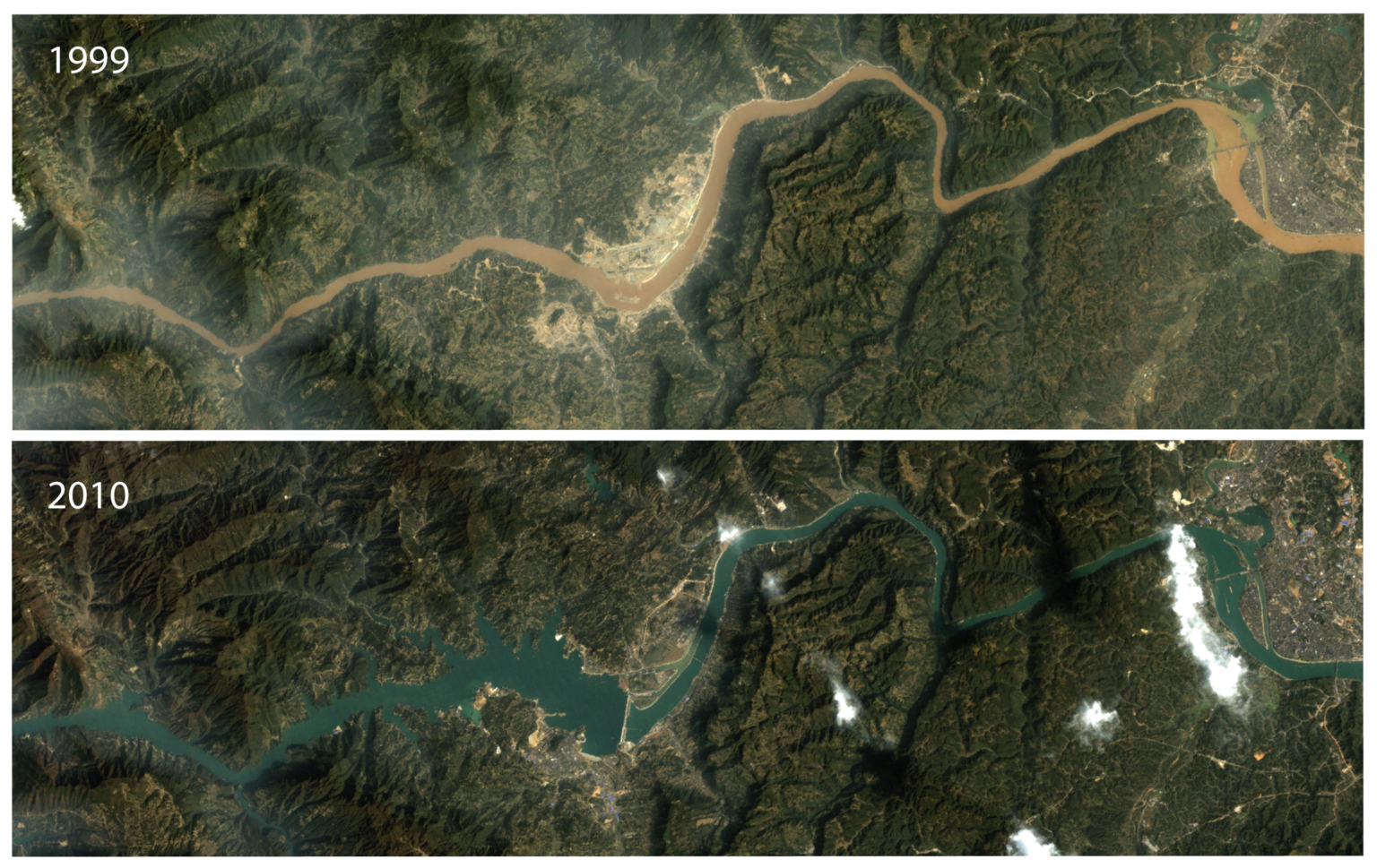
Cyprus, a large Mediterranean island, is a case study: it had a more than 300% increase in urbanization between the 1980s and the 21st century, conference presenters said.
The island hub hosted numerous civilizations over the eras; in ancient times alone, a sampling of civilizations claiming ownership of the region included the Assyrians, the Egyptians, the Persian Empire and the Romans, according to Britannica.
Modern urban expansion in places like Cyprus is thus "a significant threat to archeological sites," said Athos Agapiou, an assistant professor at Cyprus University of Technology, in a separate presentation. (His Google Scholar page shows numerous space-based studies of Cyprus.)
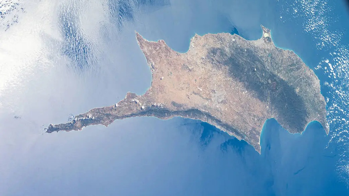
Mapping growing cities with satellite tech like space-based radar helps protect not only the exposed archaeology but also the harder-to-spot remains buried underground, added Agapiou, who is also deputy director of the chair on digital cultural heritage for the United Nations Educational, Scientific and Cultural Organization (UNESCO).
Once sites are mapped from space, many measures can be brought in for their protection. Among them is ethnographic work alongside local communities, whose ancestors built the sites and who would have generations of knowledge about the archaeology's significance.
The San Bartolo-Xultun Regional Archaeological Project in Guatemala, for example, works in concert with communities to discuss archaeology, environmental science and art conservation. Xultun refers to an ancient Maya site near San Bartolo, and the region also hosts the earliest known Mayan writing.
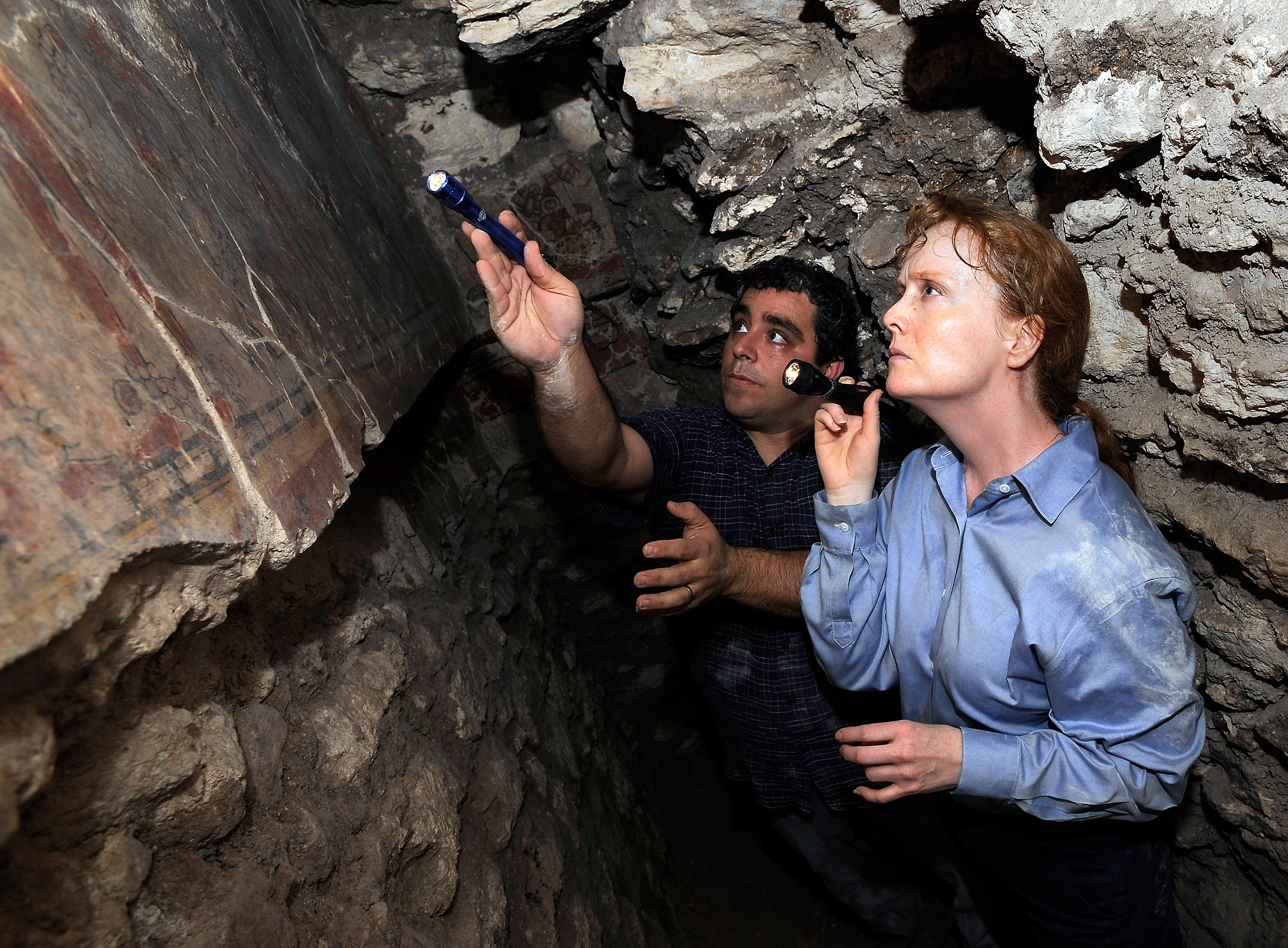
The project includes satellite lidar (light detection and ranging) capable of looking through dense forests to see evidence of Mayan sites not yet fully excavated. The Maya were the dominant indigenous group in Guatemala, northern Belize and parts of Mexico when the Spanish invaded in the 16th century, according to Britannica. Today, archaeologists are working to redress the historical inequities the Maya have faced.
"Remote sensing has made visible things more than hidden topography. It has helped to make visible the widespread problem of marginalization of local and Indigenous communities as primary partners in archeological research, and it's also been part of the toolkit for potential solutions," said Heather Hurst, co-leader of the project and an anthropology professor at Skidmore College in Saratoga Springs, New York, in a separate presentation.
Alongside preserving murals and other unique features in the area, Hurst said the project aims to increase knowledge-sharing with the San Bartolo community with regard to cultural heritage. She described the region as a "center masterpiece" within a network of ancient shrines, demonstrating how the Maya built connections through separate communities in the past.
Join our Space Forums to keep talking space on the latest missions, night sky and more! And if you have a news tip, correction or comment, let us know at: community@space.com.

Elizabeth Howell (she/her), Ph.D., was a staff writer in the spaceflight channel between 2022 and 2024 specializing in Canadian space news. She was contributing writer for Space.com for 10 years from 2012 to 2024. Elizabeth's reporting includes multiple exclusives with the White House, leading world coverage about a lost-and-found space tomato on the International Space Station, witnessing five human spaceflight launches on two continents, flying parabolic, working inside a spacesuit, and participating in a simulated Mars mission. Her latest book, "Why Am I Taller?" (ECW Press, 2022) is co-written with astronaut Dave Williams.
