Here Is China's Most Detailed View Yet of Its Chang'e-4 Landing Site on the Far Side of the Moon
Landing on the moon takes only minutes, but analyzing that process afterward takes much longer.
A team of Chinese scientists has just completed such an analysis for the landing of Chang'e-4, which touched down on the moon in January. The mission was the first successful landing on the far side of the moon, where spacecraft are unable to communicate directly with humans back on Earth.
"It's of great significance to accurately reconstruct the landing trajectory and determine the location of the landing site after a safe landing," Jianjun Liu, a scientist at the Key Laboratory of Lunar and Deep Space Exploration at the National Astronomical Observatories of Chinese Academy of Sciences, said in a statement. "We can use this information as landmarks and to service the study of lunar farside control points, high-precision lunar mapping, and future lunar missions," added Liu, who co-authored the new study.
Related: Chang'e 4 in Pictures: China's Mission to the Moon's Far Side
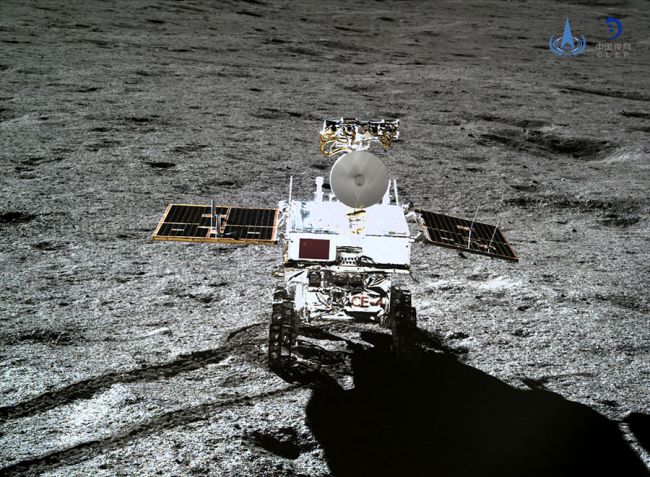
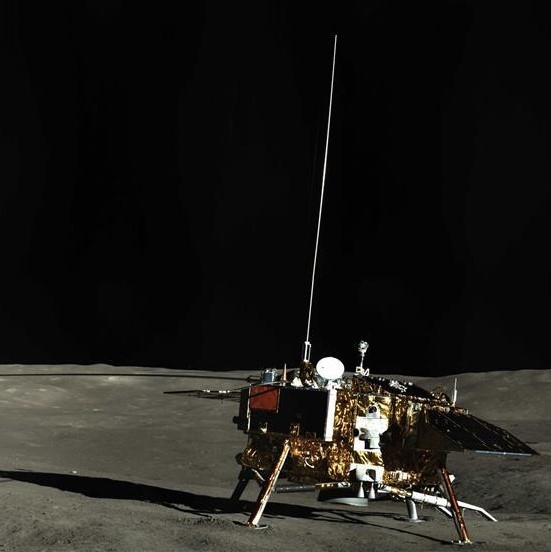
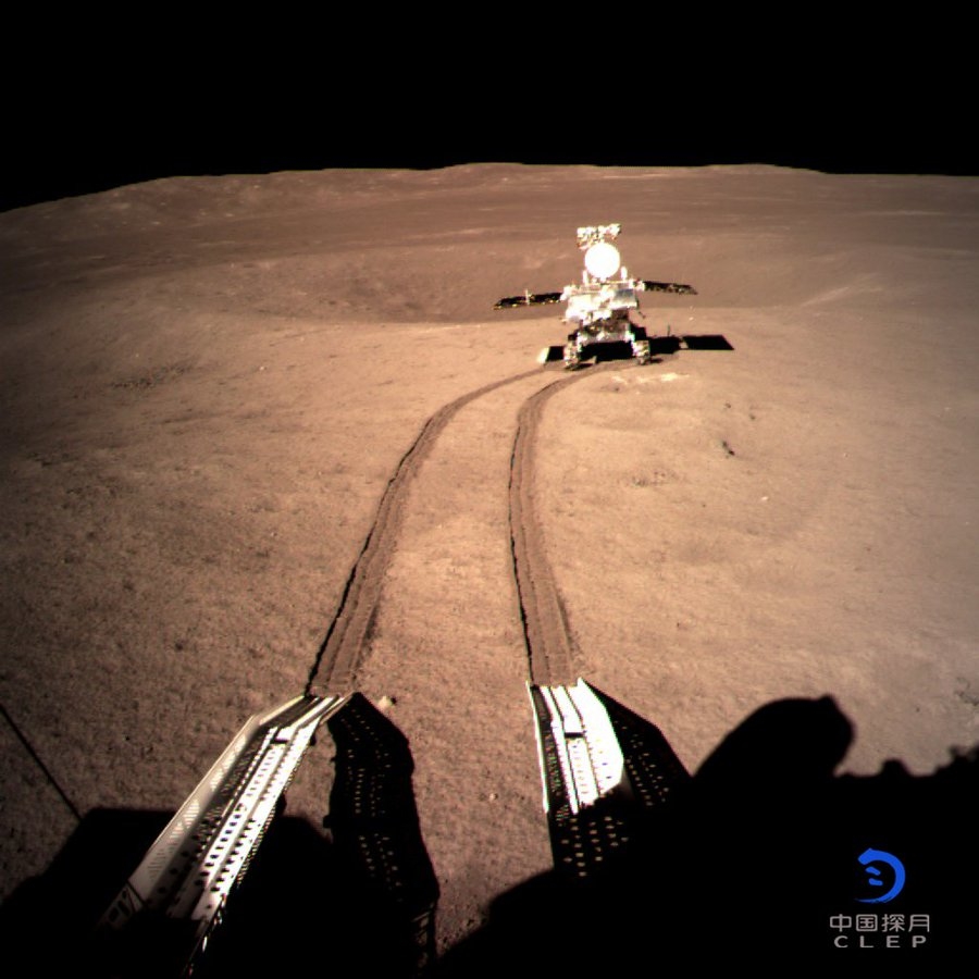
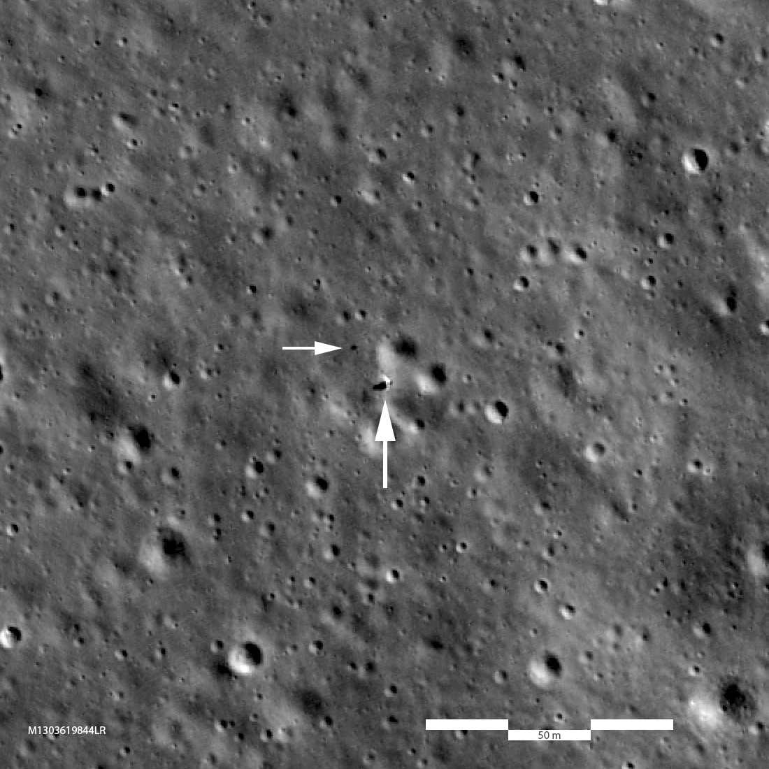
As the spacecraft landed, its cameras snapped images of the scenery, which it sent to the Queqiao relay satellite that is orbiting the moon to provide communications between the Chang'e-4 spacecraft and Earth.
The team consulted 180 landing camera images, each separated by 1 second of the landing sequence, plus additional images taken by the spacecraft's navigation camera and orbital data gathered by Chang'e-2, a mission that China launched to the moon in 2010.
By comparing the terrain visible in each successive image, the Chang'e-4 personnel could track the spacecraft's route down to the surface. They learned that, as seen from above, the spacecraft made a small loop relatively early in its descent phase, a few miles (or kilometers) above the surface.
Get the Space.com Newsletter
Breaking space news, the latest updates on rocket launches, skywatching events and more!
The spacecraft also paused for 13 seconds at an altitude of 325 feet (99 meters), giving Chang'e-4 time to evaluate its location and nearby hazards. After studying the area, the vehicle made a few adjustments to its position, then slowly descended to the surface.
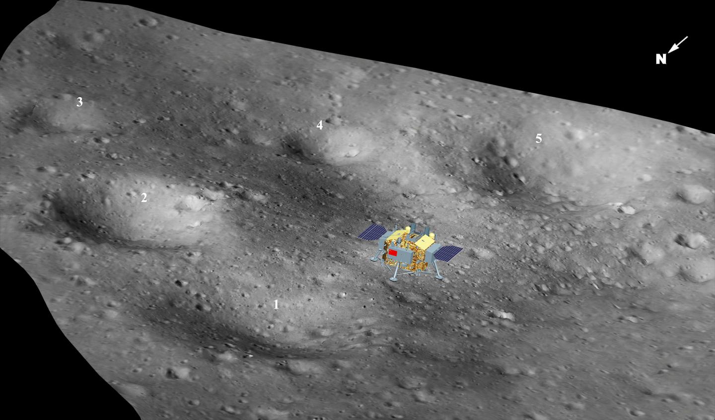
The research also confirmed that the robot touched down at 177.5991 degrees east longitude and 45.4446 degrees south latitude. That precise location will help scientists build a more accurate picture of the terrain around the vehicle, including that explored by the Yutu-2 rover that Chang'e-4 brought to the moon.
And the Chang'e-4 lander itself won't be moving anytime soon. Now that scientists have a precise location for the lander, future lunar explorers can use the robot as a landmark to the moon's far side.
The research is described in a paper published Tuesday (Sept. 24) in the journal Nature Communications.
- Photos from the Moon's Far Side! China's Chang'e 4 Lunar Landing in Pictures
- NASA Probe Spots China's Chang'e 4 Lander on Far Side of the Moon (Photo)
- Moon Photos by China's Chang'e 2 Lunar Orbiter (Gallery)
Email Meghan Bartels at mbartels@space.com or follow her @meghanbartels. Follow us on Twitter @Spacedotcom and on Facebook.

Join our Space Forums to keep talking space on the latest missions, night sky and more! And if you have a news tip, correction or comment, let us know at: community@space.com.

Meghan is a senior writer at Space.com and has more than five years' experience as a science journalist based in New York City. She joined Space.com in July 2018, with previous writing published in outlets including Newsweek and Audubon. Meghan earned an MA in science journalism from New York University and a BA in classics from Georgetown University, and in her free time she enjoys reading and visiting museums. Follow her on Twitter at @meghanbartels.
