With pandemic thwarting workshops, NASA training for tribes goes digital
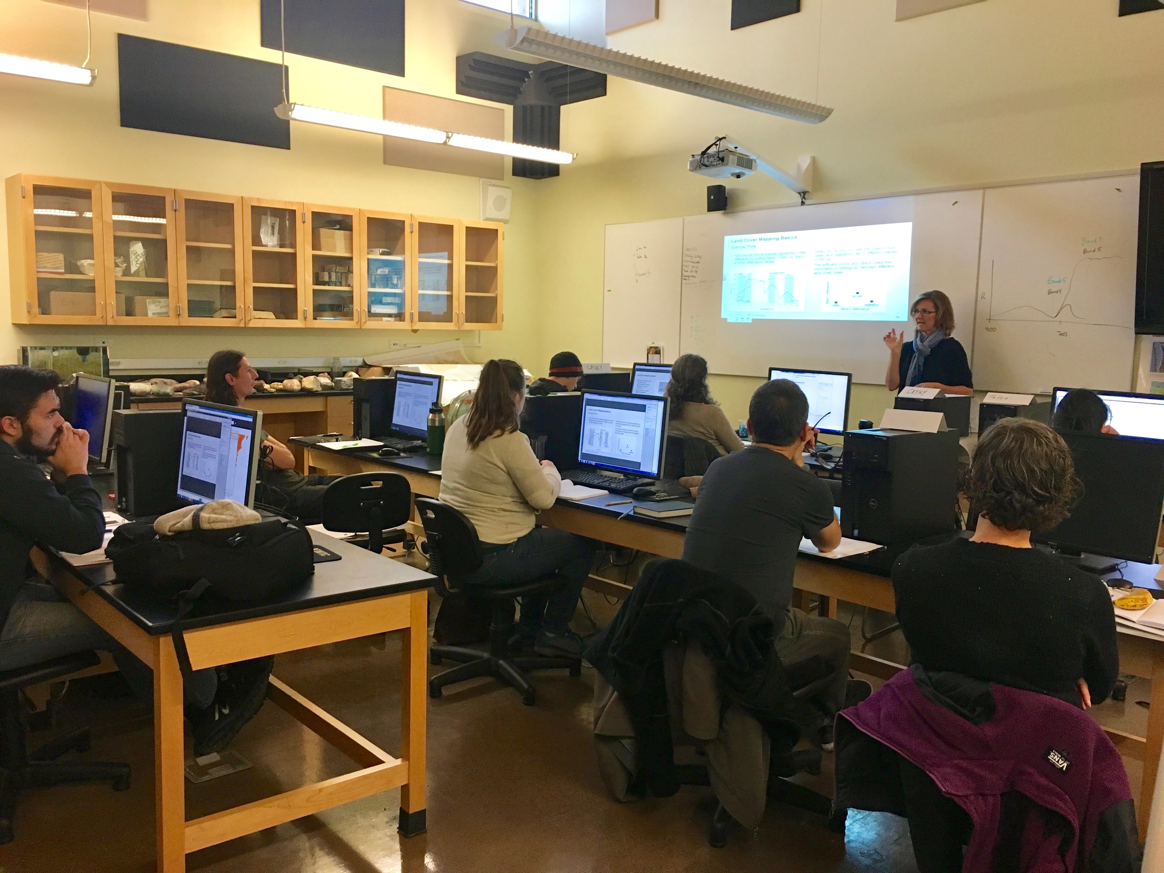
More perspectives often make for stronger problem solving — and it never hurts if one of those perspectives comes from high above the issue.
A new NASA cosponsored course aims to provide Indigenous peoples with the skills they need to assess Earth-observation data and other remote-sensing data about their lands in order to guide decision-making. A course of four webinars held in October, the initiative was meant to help substitute for workshops the agency can't hold in person because of the coronavirus pandemic, which has prompted many Native American tribes to close their borders in an attempt to slow the disease. But the pandemic doesn't change the need for humans to tend Earth.
"It's been taught to us through generations that we have a responsibility to take care of the land, the water, the people, and all that. Not just for tribal people — this is for humankind," James Rattling Leaf, a research associate at the University of Colorado Boulder and an enrolled member of the Rosebud Sioux Tribe, told Space.com.
And remote sensing can be a tool for just that. "Through time, technologies have come to us as Indigenous people," he said. "We've always looked at it very closely and considered them very carefully and then decided which ones we were going to incorporate, which we're going to bring into our culture."
Related: The Thirty Meter Telescope: How a volcano in Hawaii became a battleground for astronomy
While NASA is plenty used to analyzing satellite data, particularly from its venerable Landsat program, the agency isn't used to thinking much about Native Americans. "It's just a group of people that we don't pay much attention to," Cindy Schmidt, a research scientist at NASA's Ames Research Center in California who leads the Indigenous People's Capacity Building Initiative, told Space.com.
Under normal conditions, Schmidt and her colleagues build a deep relationship with a tribe long before a workshop, with phone calls far in advance to understand what the community wants to accomplish with remote sensing.
Get the Space.com Newsletter
Breaking space news, the latest updates on rocket launches, skywatching events and more!
"It's all about the dialogue and the conversations, and discussions around what NASA data can provide, and where that aligns with the needs of the tribe," Amber McCullum, an applied research scientist at Ames who works on the project, told Space.com of the process. "And sometimes they don't align, and that's okay. Sometimes we have to be really clear about the benefits and the limitations of remote sensing data, because it can't do it all. I think if we're aware of what it can do effectively, and what it can't do effectively, that gives the tribal folks who maybe have never used remote sensing data a little more clarity."
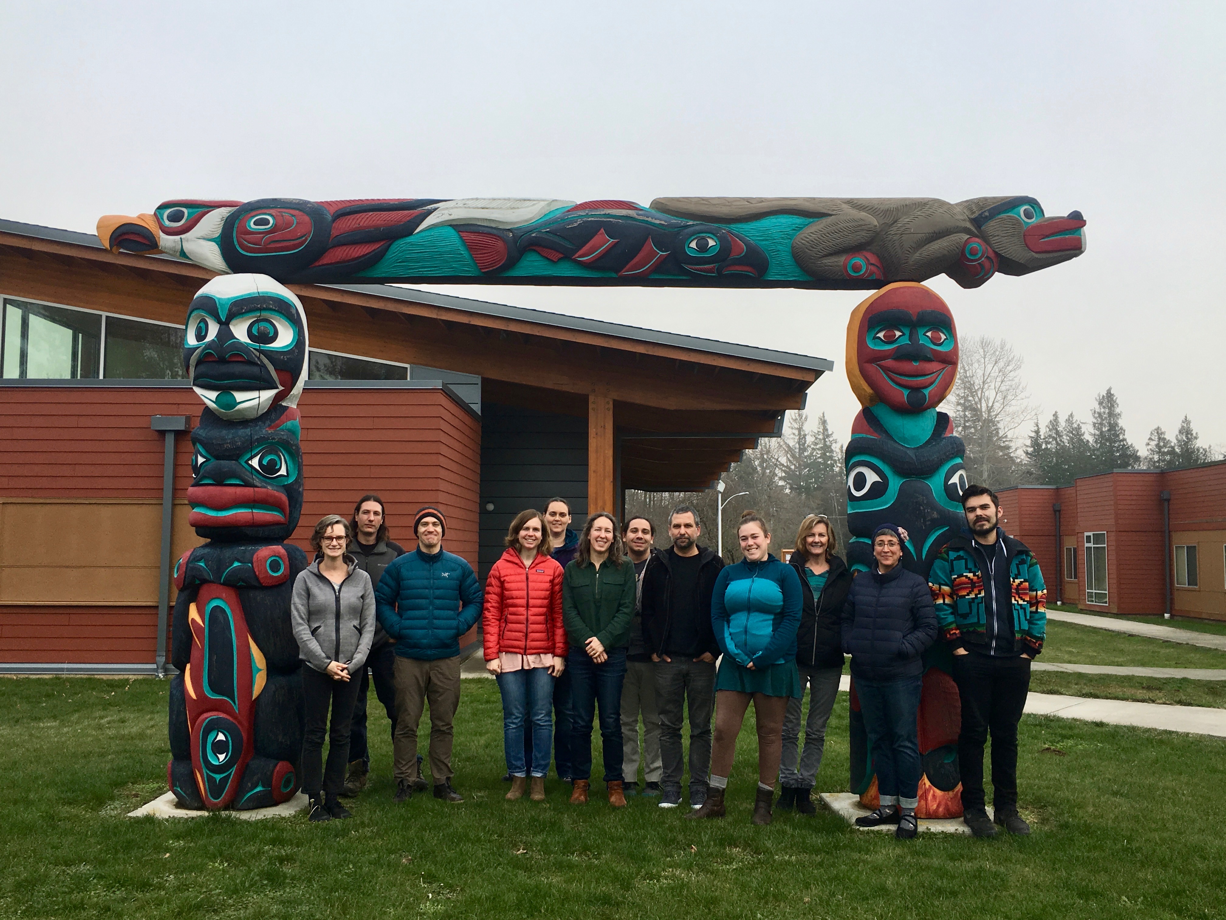
And each of those conversations is different, depending on local priorities. The Samish Indian Nation in what's often called Washington wanted to better understand kelp, which plays a key role supporting culturally important fish — and that meant bringing in someone who specializes in coastal remote sensing, which is even more complicated than the terrestrial equivalent, Schmidt said. The Sault Ste. Marie Tribe in what's often called Michigan wanted to focus on wild rice, which grows in marshes, a smaller-scale ecosystem than is easily studied with satellite data, so the program brought in an expert on using drones for remote sensing to fill the gap.
The distinctions become a particular challenge of converting workshop materials to more generalized webinar series, Schmidt said. To keep some of the flavor of the workshops, the team brought in Native Americans using Earth observation data, including Rattling Leaf, to introduce each segment as a way of showing how the technology and skills have resonated with individual tribes.
"We've also got to remember that there's 573 federally recognized tribes, they're pretty different in terms of how they approach things," Rattling Leaf said. "Wherever they're at in their development in terms of using remote sensing, it's important to keep going, but to be based on where they want to go as a tribe, not incorporating or copying another tribe."
Related: The top 10 views of Earth from space
Technology for the people
NASA organizers and tribal participants alike emphasized that the goal of the larger Indigenous people's program, which includes the in-person workshops, the webinar series and more, was to empower Indigenous people to apply skills in their own ways and to address their own needs. That fundamentally changes the way science is done in a way that cannot be mimicked by non-native people.
"What I find beneficial is that you're able to create this opportunity where these tribal communities are entering this realm of being the one to ask the question, but also to look at the data themselves to make interpretations," Nikki Tulley, a PhD student in environmental science at the University of Arizona and a member of the Navajo Nation, told Space.com. "There's a special connection that people that live in those communities themselves have just by being there and living there that we might not be able to see or interpret coming from the outside."
For his own tribe, Rattling Leaf cited the value of Earth-observation data in galvanizing opposition to the Dakota Access Pipeline in 2016 in part because of its proximity to sacred sites and potential to contaminate water.
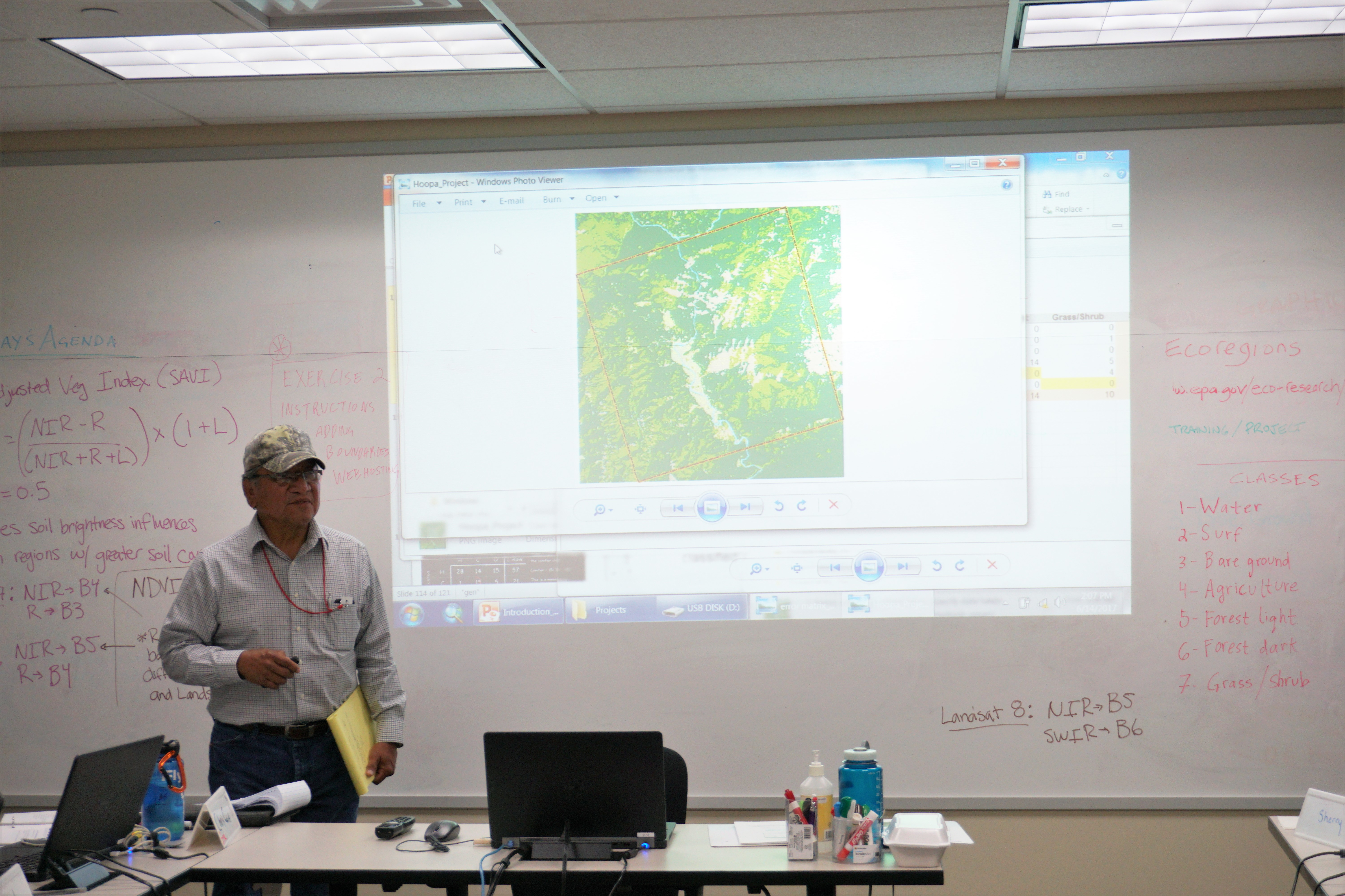
"A lot of that communication of that issue was done with remote sensing or mapping — it was a way to communicate what the issue was to everyday people," Rattling Leaf said. "Our cultural heritage is protected by federal law, so we do have laws in place to protect it. We just have to figure out how Earth observation connects with that and I think DAPL [the Dakota Access Pipeline] kind of gave us an example of that."
Tulley lives the distinct perspective in her own remote-sensing work: With each new data set she uses, she begins by examining where she grew up to compare the satellite's view with her own firsthand relationship with that particular patch of Earth.
"I go into that area that I grew up in to kind of see … what they see, and then understand what I saw that can't be seen by satellites," she said, and joins that knowledge with her scientific training. "They're coming together to comingle, to create my perspective, a hybrid way of really understanding where the data is coming from, but also where the data is going."
If Schmidt has her way, Indigenous viewpoints may shape Earth-observation work much more in the future.
"In the long run, if you were to ask me about the success of the program, success to me is actually having an Indigenous person, a Native American person doing my job," Schmidt said. "We need to be hiring a Native American person to do this work, and that's my goal … But I think we're a ways from that, unfortunately."
It's not for a lack of interest from those who have tended the Earth for centuries. "Indigenous knowledge has been waiting in the wings," Rattling Leaf said. "We're here, but I don't think anybody has asked us, anybody's invited us."
Email Meghan Bartels at mbartels@space.com or follow her on Twitter @meghanbartels. Follow us on Twitter @Spacedotcom and on Facebook.
Join our Space Forums to keep talking space on the latest missions, night sky and more! And if you have a news tip, correction or comment, let us know at: community@space.com.

Meghan is a senior writer at Space.com and has more than five years' experience as a science journalist based in New York City. She joined Space.com in July 2018, with previous writing published in outlets including Newsweek and Audubon. Meghan earned an MA in science journalism from New York University and a BA in classics from Georgetown University, and in her free time she enjoys reading and visiting museums. Follow her on Twitter at @meghanbartels.
