Huge earthquake 2,500 years ago rerouted the Ganges River, study suggests
A new study suggests an earthquake of estimated magnitude 7.5 or 8 shook the Indian subcontinent 2,500 years ago, changing the course of the Ganges.

A huge earthquake that shook southern Asia 2,500 years ago abruptly changed the course of the Ganges River, new research suggests.
The earthquake was previously unknown to science, but researchers spotted clues of its immense force buried in the landscape near Dhaka, the capital of Bangladesh. The team revealed its findings in a study published Monday (June 17) in the journal Nature Communications. The quake likely reached magnitude 7.5 or 8 and was so powerful it rerouted the main stem of the Ganges — despite the displaced section of river being more than 110 miles (180 kilometers) away from the quake's epicenter.
Rapid river-course changes are called avulsions. Researchers have previously documented avulsions caused by seismic activity, but "I don't think we have ever seen such a big one anywhere," study co-author Michael Steckler, a geophysicist and research professor at the Lamont-Doherty Earth Observatory of the Columbia Climate School in New York, said in a statement.
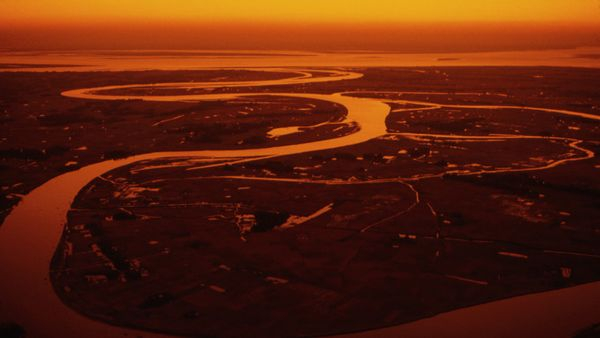
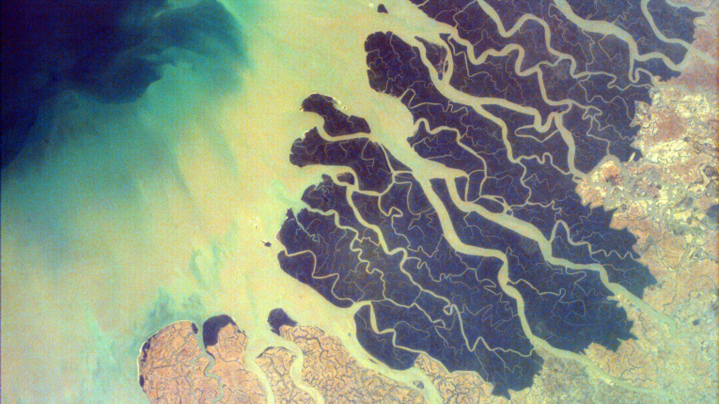
The Ganges is one of the largest rivers in the world, flowing for about 1,600 miles (2,500 km). It starts in the Himalayas, on the border between India and China, and then flows east through India to Bangladesh, where it merges with other major rivers, including the Brahmaputra and the Meghna. The combined waterways fan out to form the largest river delta on Earth and empty out into the Bay of Bengal.
Related: Satellites reveal how deadly Morocco earthquake moved ground (photos)
Like other rivers that flow through big deltas, the Ganges can change its own course — without help from an earthquake — by carrying sediments that gradually accumulate on the riverbed. Eventually, enough sediment builds up in one spot to grow taller than the surrounding landscape, at which point the river spills over and carves out a new path for itself.
While this process occurs over several years or decades, an earthquake could potentially reroute a river more or less instantaneously, Steckler said.
Get the Space.com Newsletter
Breaking space news, the latest updates on rocket launches, skywatching events and more!
"It was not previously confirmed that earthquakes could drive avulsion in deltas, especially for an immense river like the Ganges," study lead author Liz Chamberlain, a geochronologist and assistant professor at Wageningen University in the Netherlands, said in the statement.

Satellite imagery gave scientists the first clues that the Ganges had been violently rerouted in the past, according to the statement. Chamberlain and her colleagues spotted what looked like an old river channel running parallel to the Ganges roughly 62 miles (100 km) south of Dhaka. The researchers then explored the region to gather more evidence and found bands of sand cutting through the muddy ground in several locations. They identified the bands as seismites — vertical layers of sand that "erupt" when an earthquake shakes watery soils — and concluded that they had formed in a single event.
Chemical analyses of the sand and mud revealed that the event, which the scientists deduced must have been a huge earthquake, took place 2,500 years ago.
Two separate mechanisms could have triggered the earthquake, according to the study. The first is a seismically active zone around the Shillong Massif mountains in northeastern India, where the Indian tectonic plate is scrunching up against the Eurasian plate. The second is the subduction of the Indian Ocean crust beneath Bangladesh, Myanmar and northeastern India. Both processes are occurring more than 110 miles from where the researchers found the seismites, which suggests the Ganges-rerouting earthquake had a minimum magnitude of 7.5 to 8, according to the study.
A 2016 study led by Steckler showed that both the Shillong Massif and the Indo-Burman subduction zone could trigger earthquakes of a similar magnitude again. Such a quake could affect around 140 million people, the study found.
Join our Space Forums to keep talking space on the latest missions, night sky and more! And if you have a news tip, correction or comment, let us know at: community@space.com.

Sascha is a U.K.-based trainee staff writer at Live Science. She holds a bachelor’s degree in biology from the University of Southampton in England and a master’s degree in science communication from Imperial College London. Her work has appeared in The Guardian and the health website Zoe. Besides writing, she enjoys playing tennis, bread-making and browsing second-hand shops for hidden gems.


