
Giant river system that existed 40 million years ago discovered deep below Antarctic ice
Geologists digging into the massive ice sheet of West Antarctica have discovered the remains of an ancient river system that once flowed for nearly a thousand miles.
The discovery offers a glimpse into the Earth's history and hints at how extreme climate change could alter the planet, according to their findings, published June 5 in the journal Science Advances.
"If we think about a potentially severe climate change in the future, we need to learn from periods in Earth's history where this already happened," Johann Klages, study co-author and a sedimentologist at the Alfred Wegener Institute Helmholtz Center for Polar and Marine Research in Germany, told Live Science.
Between 34 million to 44 million years ago, an epoch known as the middle-to-late Eocene, Earth's atmosphere transformed drastically. As carbon dioxide levels plummeted, global cooling triggered the formation of glaciers on an ice-free Earth.
Related: US Space Force satellite data shines light on mystery of Arctic warming
Scientists are interested in investigating how this major climate event unfolded in Antarctica, especially as carbon dioxide levels on Earth continue to rise due to human-caused climate change. The amount of carbon dioxide during the late Eocene period was almost double the amount we have today. However, it may be similar to levels predicted in about 150 to 200 years if levels of greenhouse gases continue to rise, Klages said.
But uncovering the past has proven challenging. Most of West Antarctica today is covered in ice, making it difficult to access sedimentary rocks, which are critical to studying early environments. Geologists often rely on the type of grains, minerals and fossils trapped within these sediments to work out the kind of conditions that characterize an area.
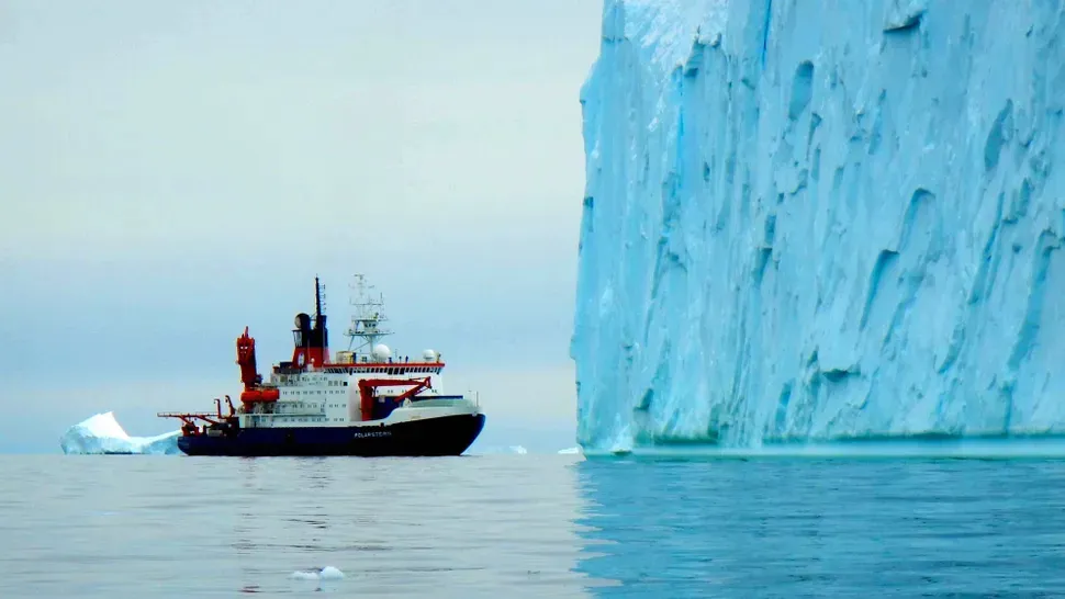
In 2017, Klages and other scientists onboard the research vessel Polarstern expedition traversed from the southernmost part of Chile, across the rough Drake Passage and into the western part of the icy continent. Equipped with advanced seafloor drilling equipment, Klages and his team set out to collect cores from soft sediments and hard rocks within the frozen seabed.

After drilling nearly 100 feet (30 meters) into the seafloor, the researchers retrieved sediments with layers from two distinct periods.
By calculating the half-life of radioactive elements, such as the ratio of uranium and lead in the sediment, they found that the lower part of the sediment was formed during the mid-Cretaceous period, about 85 million years ago. This sediment contained fossils, spores and pollens characteristic of a temperate rainforest, which existed at that time. The upper part of the sediment contained mostly sand from the mid-to-late Eocene epoch, about 30 million to 40 million years ago.
Upon closer inspection, they recognized a strongly stratified pattern in the Eocene sand layer that resembled those coming from a river delta, very similar to something one would encounter in the Mississippi River or Rio Grande, Klages said.
The scientists performed a lipid biomarker analysis, in which they quantified the amount of lipid and sugar in the sediment, and found a unique molecule commonly found in cyanobacteria that live in freshwater. The finding confirmed their suspicions that an ancient river once snaked across the continent.
The researchers traced the Eocene grains to a distinct salt region in the Transantarctic Mountains, traversing an area that spanned about 930 miles (1,500 kilometers) before draining into the Amundsen Sea.
"This is exciting — just having this exciting image in your brain that there was this gigantic river system flowing through Antarctica that is now covered by kilometers of ice," Klages said.
Klages and his team are now analyzing parts of the core sediments that belong to a more recent Oligocene-Miocene period, about 23 million years ago. That will help refine models to better predict future climate.
