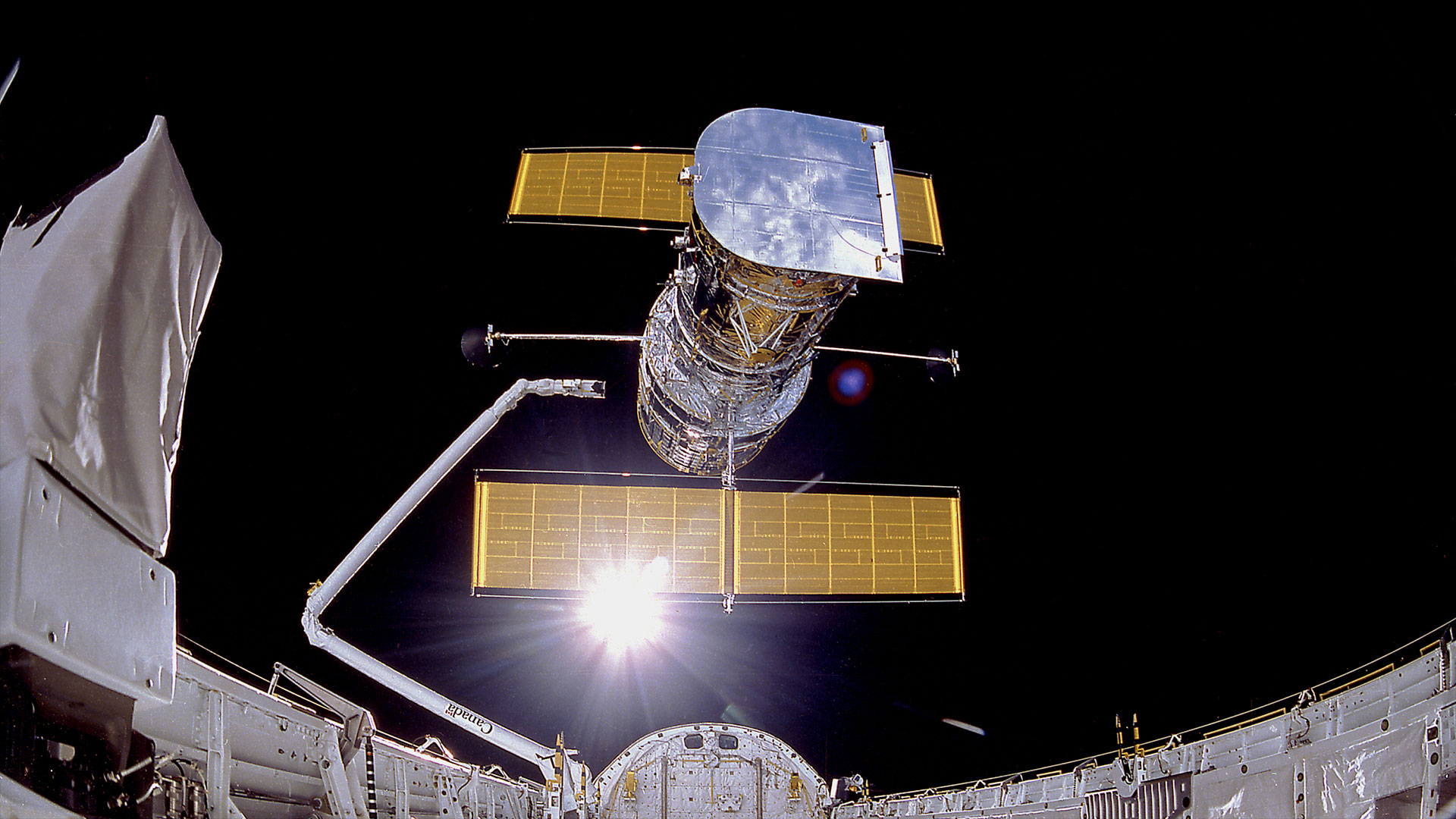
An intriguing — albeit brief — drama in the sky is anticipated to occur early this evening (Jan. 29), as two American satellites, having long been decommissioned but still in orbit, make a precariously close pass by each other.
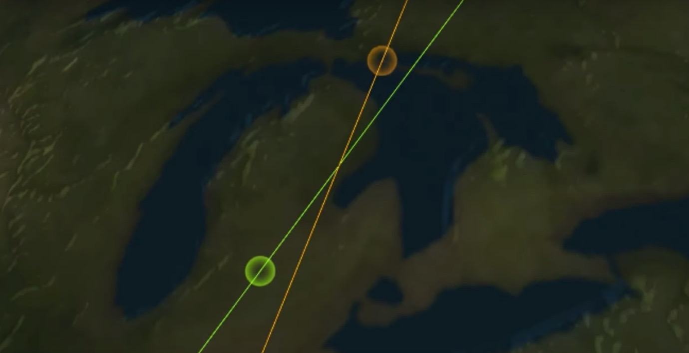
Closest approach is expected to come at 6:39:35 p.m. EST (2339 GMT). At that moment, the two space vehicles will be soaring directly above the city of Pittsburgh, Pennsylvania.
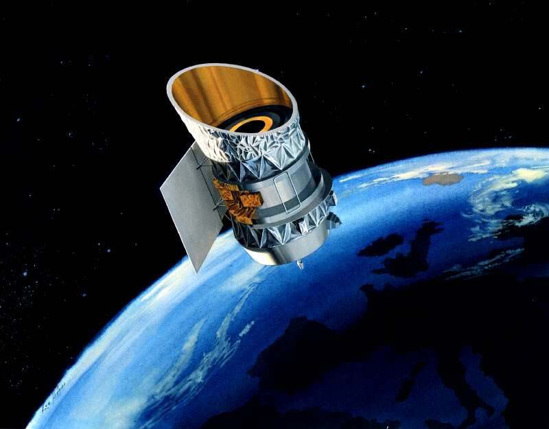
The two satellites in question are the Infrared Astronomical Satellite (IRAS), launched in 1983 and the Gravity Gradient Stabilization Experiment (GGSE-4), which was put into orbit back in 1967.
Related: Potential collision of old US satellites would spawn new debris swarm
Many are wondering if they will be able to actually see these two satellites pass very close to each other with their own eyes. The answer is yes ... but in order to see it, there are a couple of important prerequisites.
The first thing you're going to need is a reasonably dark viewing site. If you live in a brightly-lit city or suburb, it will be well-nigh difficult-to-impossible to get a good view. The reason is, unlike the International Space Station or smaller (bus-size) satellites that are in low Earth orbit and are readily visible to the eye, both the IRAS satellite and the GGSE-4 satellite, are relatively small and in higher orbits, making them much fainter and more difficult to see.
Another prerequisite is a good pair of binoculars or a small, low-power telescope with a wide field of view.
Get the Space.com Newsletter
Breaking space news, the latest updates on rocket launches, skywatching events and more!
Lastly, although the range of visibility covers a radius of roughly 2,000 miles (3,200 kilometers) centered on Pittsburgh, only those living in the eastern third of the United States and Canada will have a chance of making a sighting. Going farther west means the sky will either be in twilight or daylight, precluding any observation.
2/ On Jan 29 at 23:39:35 UTC, these two objects will pass close by one another at a relative velocity of 14.7 km/s (900km directly above Pittsburgh, PA). Our latest metrics on the event show a predicted miss distance of between 15-30 meters. pic.twitter.com/Hlb1KeQ50UJanuary 27, 2020
IRAS is by far the brighter of the two satellites, because it is larger; roughly the size of a small truck, at 11.8 feet by 10.6 feet by 6.7 feet (3.6 by 3.2 by 2.1 meters). Orbiting Earth at an altitude of roughly 560 miles (900 km), IRAS typically appears as bright as a magnitude +5.5 star. That's close to the threshold of naked-eye visibility under a dark, clear sky.
GGSE-4 is much smaller and usually gets no brighter than magnitude +8. That's one-tenth as bright as IRAS.
Your best hope of getting a glimpse of these objects when they are at their closest, is to point your binoculars or telescope to that particular part of the sky where this "satellite conjunction" is due to take place. IRAS will be traveling on a north-south trajectory, while GGSE-4 will be tracking in the opposite direction, from south to north.
According to LeoLabs, the satellite-tracking company that made the prediction, they are expected to pass within 40 feet (12 m) of each other at a relative velocity of 9.1 miles (14.7 km) per second. The combined size of both objects increases the computed probability of a collision, which is placed at 1 in 100 or 1%.
2/ The 12m total miss distance has components of:11m radially0m in-track5m cross-trackWe can visualize this conjunction geometry from the top-down and side-on views of the event at TCA: pic.twitter.com/Vo1fRPE2yHJanuary 29, 2020
Heavens Above!
In order to gauge precisely what part of the sky the satellites will be when they appear closest together, you'll need a schedule and an accurate plot of at least one of the satellite's path. (You can get both from the tracking site Heavens-Above.com. You can see their sky map showing Pittsburgh's view of IRAS here and another map for GGSE-4 here.)
Heavens-Above provides sighting information for a number of "satellites of special interest" which includes the International Space Station, SpaceX's Starlink satellite train, the Hubble Space Telescope and Europe's defunct Envisat satellite. But because of their faintness, neither IRAS nor GGSE-4 is not included on this list. However, Heavens-Above does have a searchable database of thousands of satellites.
If you type "IRAS" or "GGSE 4" into the search bar and click on the satellite's name, you'll see information regarding its designation, details and launch date. If you click on the "Orbit" link in the top right, you'll see recently updated maps and data regarding where the satellite is in its orbit above Earth.
Now, click on "Visible Passes." You'll be taken to a page that provides a listing of observable sightings for your specific area for the next 10 days. You will be interested in the pass occurring this evening (Jan. 29) beginning at around 6:33 p.m. local time. Click on the Jan. 29 link to see the path satellite's across the sky, plotted on a circular star map.
The satellite's track has time stamps to show where it is predicted to be at a given moment. Through interpolation, find that part of the track that corresponds most closely to 18:39:35; that is when IRAS and GGSE-4 are expected to pass closest to each other. Click on the map and you will be brought to a new map with a larger scale and with time stamps depicted in 10-second increments. Now you have a very good idea of where the two satellites will appear closest together. Close to the appointed time, concentrate on that region of the sky based on your star map.
As was noted before, IRAS will appear as a "moving star" of magnitude +5.5 moving south. Barely visible to the naked eye, good binoculars should easily show it. If you have clear/dark sky conditions, you should also be able to sight the much fainter GGSE-4 moving in the opposite direction relative to IRAS. Both satellites might appear to briefly merge together, before moving along on their separate ways — unless they crash, though that scenario is unlikely.
If they collide...
The big worry is that the GGSE-4 has a 59-foot (18 m) stabilizing boom sticking out, and satellite trackers can't tell which direction it's facing. Depending on the spacecraft's orientation when it crosses paths with IRAS, the probability of a collision could be as high as 5%, according to LeoLabs.
So, what would be seen if the two satellites were to collide with each other? Quite possibly it might create a momentary bright flash — perhaps resembling an iridium flare — in the sky ... and the ensuing debris from the collision might create something akin to a "puff" of vapor in binoculars or a telescope.
Nobody can say for sure, but many will be watching this evening and hope that GGSE-4 doesn't "lower the boom" on IRAS!
Editor's Note: If you capture an amazing image of IRAS and GGSE-4 and would like to share it with Space.com's readers, send your photos, comments, and your name and location to spacephotos@space.com.
- How to Spot Satellites
- The Best Mobile Apps for Spotting and Identifying Orbiting Satellites and Iridium Flares
- Wow! This Is What SpaceX's Starlink Satellites Look Like in the Night Sky
Joe Rao serves as an instructor and guest lecturer at New York's Hayden Planetarium. He writes about astronomy for Natural History magazine, the Farmers' Almanac and other publications. Follow us on Twitter @Spacedotcom and on Facebook.
4/ Adjusting our calculations to account for larger object sizes (by increasing our combined Hard Body Radius from 5m to 10m), this yields an updated collision probability closer to 1 in 20.January 29, 2020
- 7 wild ways to clean up space junk
- Space junk explained: The orbital debris threat (infographic)
- Latest news about space junk and orbital debris

Join our Space Forums to keep talking space on the latest missions, night sky and more! And if you have a news tip, correction or comment, let us know at: community@space.com.

Joe Rao is Space.com's skywatching columnist, as well as a veteran meteorologist and eclipse chaser who also serves as an instructor and guest lecturer at New York's Hayden Planetarium. He writes about astronomy for Natural History magazine, Sky & Telescope and other publications. Joe is an 8-time Emmy-nominated meteorologist who served the Putnam Valley region of New York for over 21 years. You can find him on Twitter and YouTube tracking lunar and solar eclipses, meteor showers and more. To find out Joe's latest project, visit him on Twitter.
-
Gordon Jenkins SMACKDOWN! UPDATE! KESSLER SYNDROME DANGER HAS PASSED, for now.Reply
"Thankfully our latest data following the event shows no evidence of new debris. To be sure, we will perform a further assessment upon the next pass of both objects over Kiwi Space Radar occurring later tonight." -LeoLabs, Twitter 1222702184711757825View: https://twitter.com/LeoLabs_Space/status/1222702184711757825 -
Phillip Huggan I've sketched out a a de-orbit mission for a satellite or wounded satellite at risk to enact a Kessler Syndrome.Reply
Hitting with a conventional explosion threatens to fragment it. EMPs, Nuclear bombs and shrapnel are obviously no good at LEO. Using gas pressure is best. I suggest to intercept a wounded satellite, an unmanned rocket of compressed oxygen, or hydrogen, or helium gas be sent from Earth, to an orbit maybe a few kilometers above the wounded satellite and it gradually descends until it is ahead of the satellite. The rocket will need to cease firing its primary engine. It will have matched the velocity of the satellite. It turns around 180 degrees so its nose faces the satellite. It opens up its nose. The compressed gas is vented, immediately exerting pressure on the satellite, causing it to drop to a lower orbit. Venting gas will cause the rocket to increase speed, so it must begin pitching up and down, diving below and above the satellite to maintain the match of the satellite's orbiting velocity. As this pitching becomes more pronounced, less and less of the gas will impact the satellite. Eventually the satellite pitches to an ocean. It will be hard to get above the satellite if there is already a bad Kessler Syndrome, without Lunar logistics. With more time this mission may be made to work given existing space infrastructure. -
Phillip Huggan The volatiles strategy might be too hard as friction with the atmosphere at LEO is variable; maybe quantumly entangled light sensors are needed to measure the oncoming flight path's gas density 1st. Deorbiting a satellite using lasers from another satellite is not classified and will work. A ship matches the orbit of an object to be de-orbited. It thrusts above. A laser is turned on aimed at the debris. The laser ablates the side of the debris facing away from Earth. If it is tumbling, perhaps one axis of tumble is first eliminated by selectively turning the laser on and off to zero a given tumble axis. This selective strategy also can be used to *minimize* dangerous reflections back to the laser satellite. Ground lasers being reflected will eventually work too.Reply
If a Kessler Syndrome happens, it will be necessary to have these satellites at GEO, in Cis-Lunar Station, or the Moon. Maybe Cis-Lunar should focus on this technology until we capture suitable NEO asteroids and turn them into laser satellites.
