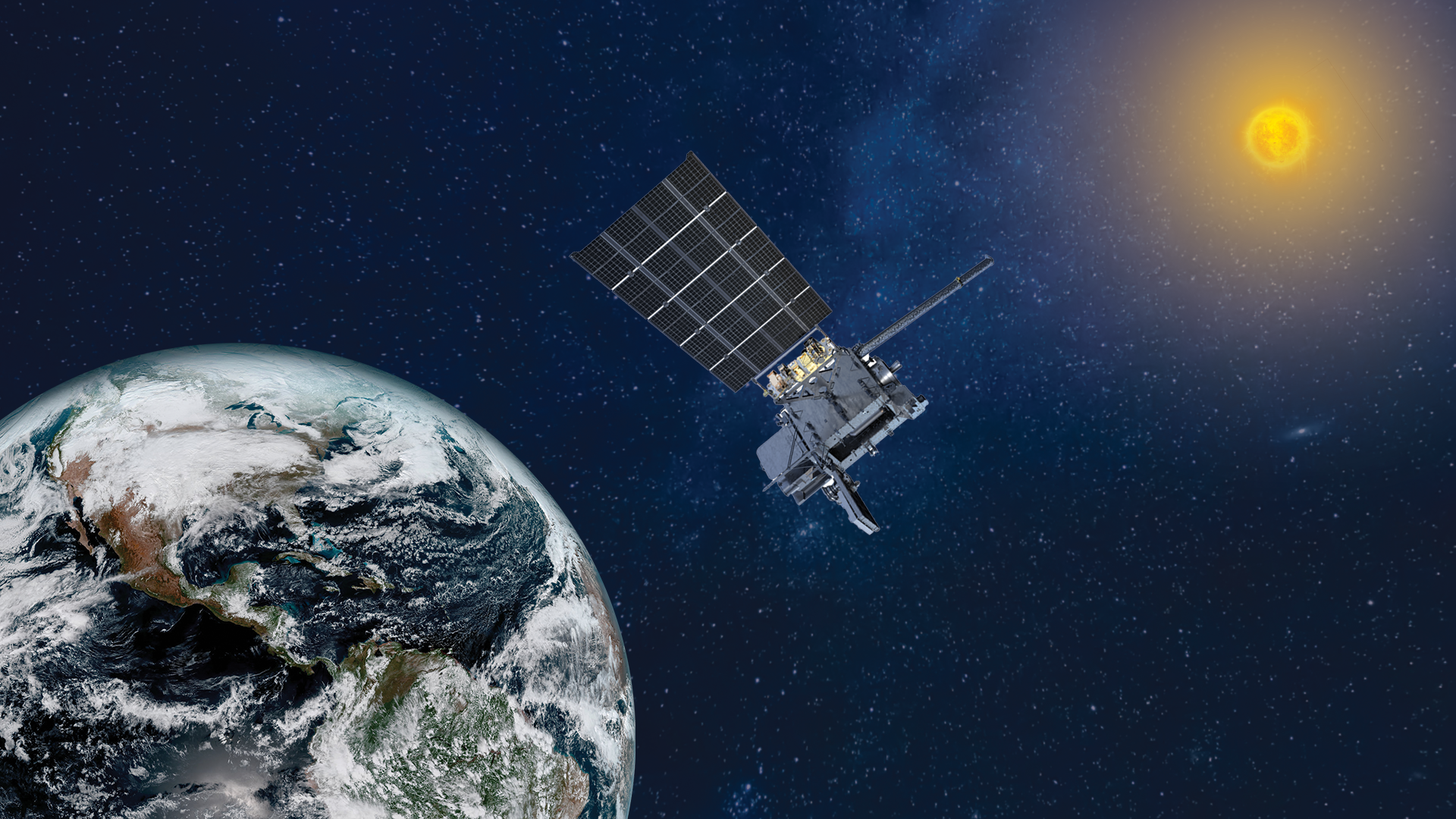
NASA Satellites Tracking Amazon Fires Show Heavy Smoke, Scorched Earth
NASA satellites have observed thick smoke billows and extremely high temperatures as record-breaking fires continue to scorch the Amazon.
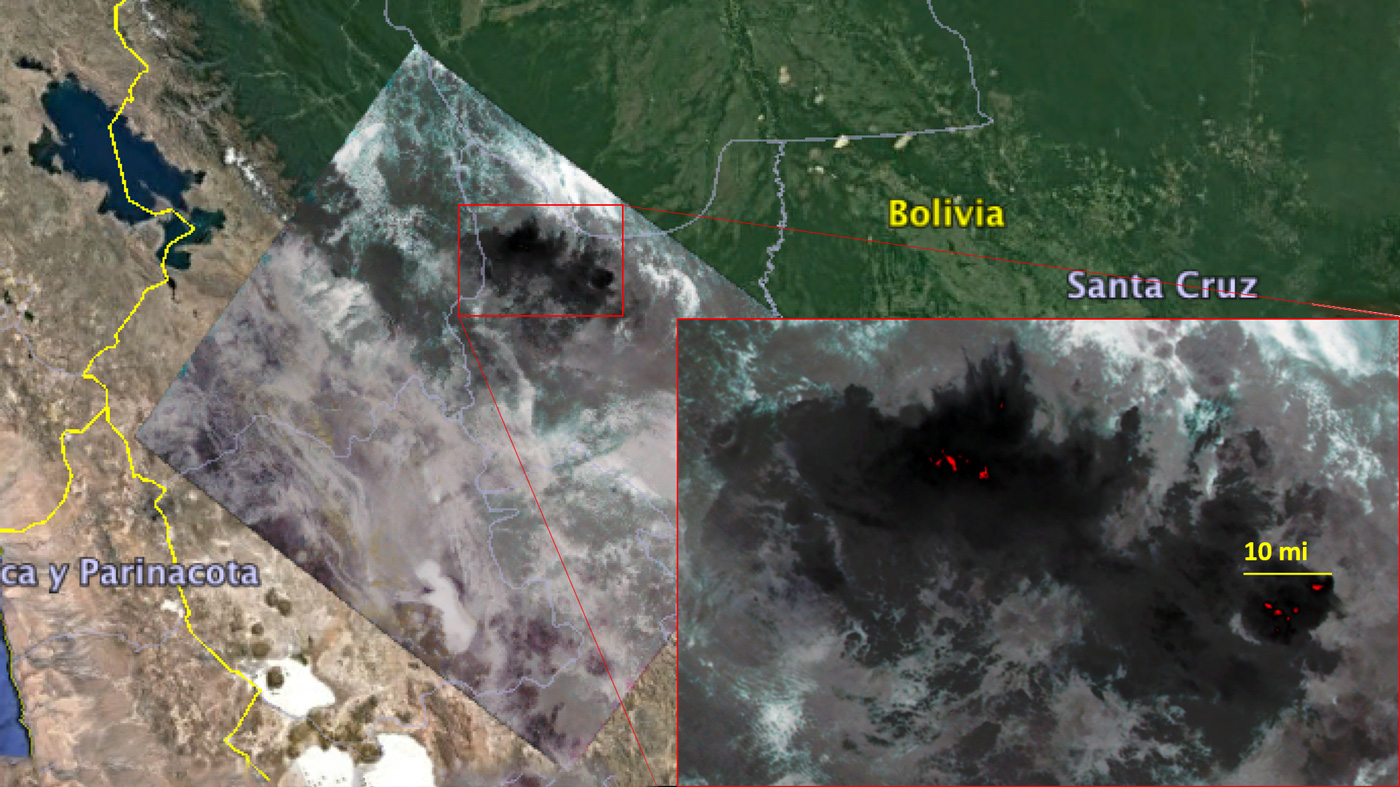
On Aug. 23, NASA's Ecosystem Spaceborne Thermal Radiometer Experiment on Space Station (ECOSTRESS) photographed regions of northern Brazil and eastern Bolivia. The satellite observations covered swaths of land about the size of a football field, according to a statement from NASA.
The observations revealed that surface temperatures in these areas exceeded 220 degrees Fahrenheit (104 degrees Celsius), which is the maximum temperature that ECOSTRESS is able to measure. In addition, thick clouds of smoke obscure most of the satellite's view of the Amazon fires.
Related: See the Effects of Climate Change Across Earth (Video)
The ECOSTRESS instrument is mounted on the International Space Station and thus able to observe areas of the planet at different times of day, whereas satellites in other orbits observe areas at the same time each day. Therefore, the ECOSTRESS offers a unique vantage point for monitoring the Amazon fires, according to the statement.
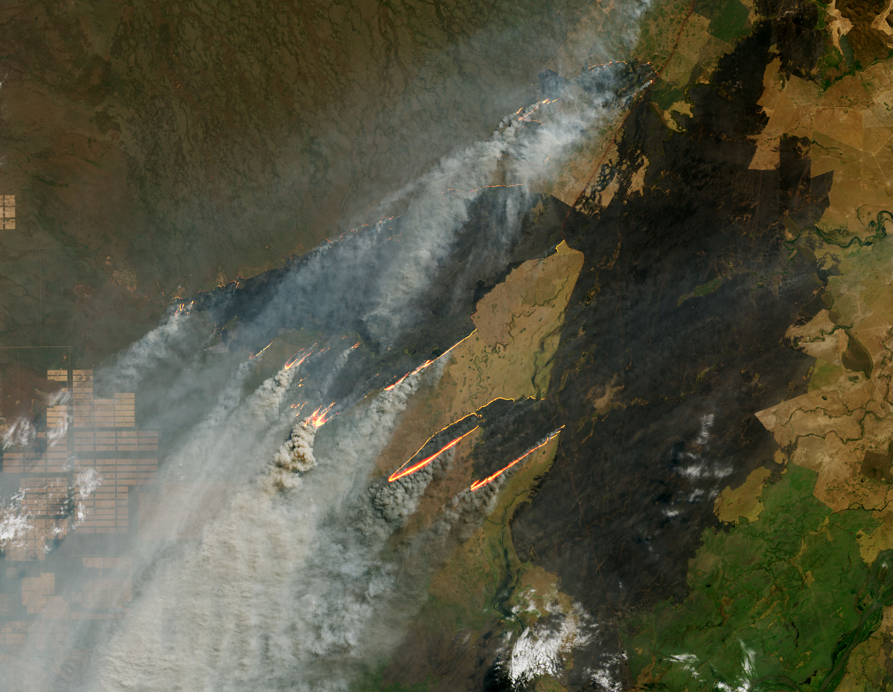
NASA's Operational Land Imager (OLI) on Landsat 8 has also observed fires burning north of the Paraguay River near Puerto Busch, as well as near the border of Bolivia and Brazil, outside of the Amazon rainforest.
OLI observations taken on Aug. 25 used visible and shortwave-infrared light to highlight the fires burning through the area. Large plumes of smoke trailed active fires, while recently burned areas appear black in the photos.
Get the Space.com Newsletter
Breaking space news, the latest updates on rocket launches, skywatching events and more!
La foresta continua a bruciare. The forest continues to burn. #Amazonfires #MissionBeyond pic.twitter.com/L2ENiVSLYyAugust 29, 2019
Data from NASA's MODIS (or Moderate Resolution Imaging Spectroradiometer) sensors suggest the fire started in Paraguay in the beginning of August and then spread into Bolivia and Brazil by Aug. 19, according to a statement from NASA Earth Observatory.
- So Much of the Arctic Is on Fire, You Can See It From Space
- In Photos: The 2018 California Wildfires as Seen from Space
- Huge Canadian Wildfire Spotted from Space (Photos)
Follow Samantha Mathewson @Sam_Ashley13. Follow us on Twitter @Spacedotcom and on Facebook.
Join our Space Forums to keep talking space on the latest missions, night sky and more! And if you have a news tip, correction or comment, let us know at: community@space.com.

Samantha Mathewson joined Space.com as an intern in the summer of 2016. She received a B.A. in Journalism and Environmental Science at the University of New Haven, in Connecticut. Previously, her work has been published in Nature World News. When not writing or reading about science, Samantha enjoys traveling to new places and taking photos! You can follow her on Twitter @Sam_Ashley13.
