Satellites watch as LA wildfires burn out of control in California (video)
A deadly wildfire continues to burn in parts of Los Angeles in Southern California, and the National Oceanic and Atmospheric Administration's (NOAA) satellites continue to monitor the location of the fire and smoke across the region.
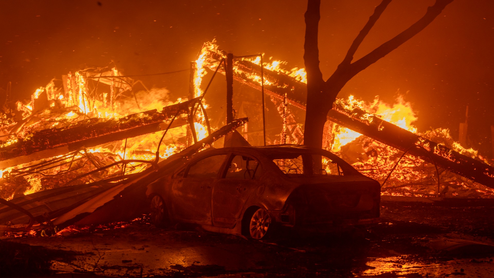
The Palisades Fire, which began Tuesday morning (Jan. 7), grew to just under 3,000 acres in less than 24 hours. Tens of thousands of people have been forced to evacuate their homes and businesses, with more evacuation orders likely to be issued with the continued threat of powerful wind gusts.
According to the Associated Press (AP), the fire was fueled by extreme winds and burned through neighborhoods in Pacific Palisades (located in western Los Angeles).
Some ad blockers can disable our video player.
Critical information is provided to community leaders, firefighters, and weather forecasters from satellites in space, which have instruments that can continuously take pictures of and monitor the fire and the associated smoke plumes.
NOAA has two different types of satellites working in tandem to keep a watchful eye on the wildfire; Geostationary Operational Environmental Satellite (GOES) and the Joint Polar Satellite System (JPSS).
Both satellites are equipped with next-generation tools to observe our planet, but the difference is that JPSS orbits Earth in a polar, non-geosynchronous orbit 512 miles (824 kilometers) above us, while GOES satellites orbit above the same point on Earth (in what's known as a geosynchronous orbit) from 22,236 miles (35,786 kilometers) above.
By using different filters and spectral bands on instruments aboard both satellites, powerful images can be created to show the near real-time growth and movement of the fire and smoke.
Get the Space.com Newsletter
Breaking space news, the latest updates on rocket launches, skywatching events and more!
In the time lapse captured by NOAA's GOES-18 satellite, pictures from its Advanced Baseline Imager (ABI) show the location of the fire, how it grew in size and intensity over time, and where the winds were blowing the smoke plume (in the video at the top of this article, you can see the winds were blowing from the northeast, pushing the smoke to the southwest over the Pacific Ocean).
Similarly, an instrument aboard NOAA’s JPSS-2 satellite, NOAA-21, took this picture also highlighting the hotspots from the fire and the length of the smoke plume extending out over the ocean. Without these important monitoring tools, firefighters and forecasters would have to rely on ground reports, which could be delayed or unavailable at times.
You can find more information on the Palisades Fire from the California Department of Forestry and Fire Protection (CAL FIRE).
Join our Space Forums to keep talking space on the latest missions, night sky and more! And if you have a news tip, correction or comment, let us know at: community@space.com.

Meredith is a regional Murrow award-winning Certified Broadcast Meteorologist and science/space correspondent. She most recently was a Freelance Meteorologist for NY 1 in New York City & the 19 First Alert Weather Team in Cleveland. A self-described "Rocket Girl," Meredith's personal and professional work has drawn recognition over the last decade, including the inaugural Valparaiso University Alumni Association First Decade Achievement Award, two special reports in News 12's Climate Special "Saving Our Shores" that won a Regional Edward R. Murrow Award, multiple Fair Media Council Folio & Press Club of Long Island awards for meteorology & reporting, and a Long Island Business News & NYC TV Week "40 Under 40" Award.
