Al Savage is the manager of the StarFire Network within the Intelligent Solutions Group (ISG) at John Deere. He contributed the article to Space.com's Expert Voices: Op-Ed & Insights.
Our world has become immersed in all things GPS, from mobile devices and cars to how farmers work and grow our food. Even for those of us old enough to remember a time before GPS was widely available, it's hard to now imagine the world without it.
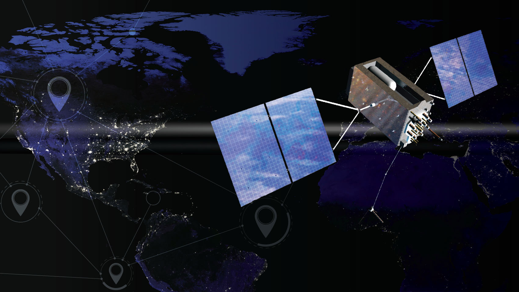
In 1957, the first satellite to successfully orbit the Earth was launched. Little did the world know that this satellite, named Sputnik, would start decades of technological advancements. In the early 1960s, the U.S. Navy developed the first satellite navigation system so ballistic missile submarines could obtain accurate location information. This technology became more readily available for public consumption in the 1980s, and by 1996, the Department of Defense officially named the system the Global Positioning System (GPS). It wasn't until the late 1990s that farmers began to adopt GPS, but once they did, it completely transformed the agriculture industry.
Related: Facts about the Global Positioning System
GPS in agriculture: A continually evolving technology
The average consumer uses GPS for navigation systems on smartphones or in vehicles, but for the agriculture industry, GPS delivers much more. While most people think agriculture uses antiquated practices that haven't changed in decades, today's agriculture embraces technology in transformative ways.
The agriculture industry uses a wide array of technology, including sensors, IoT (internet of things), artificial intelligence (AI) and machine learning (ML), all of which work alongside GPS. With the world population projected to reach 9.8 billion by 2050, subsequent higher demand for food combined with the ongoing impact of climate change, means farmers will be challenged to produce more by improving operations year-over-year.
Experimenting with new practices or making a mistake has a direct impact on results and could mean lower yields at the end of the season or even losing an entire crop that year. But, the combination of IoT and satellite technology allows farmers to analyze data from previous years and make actionable decisions that can positively impact the current season. For example, data can help inform farmers on the best places to plant seeds based on trends identified looking at past successes and failures. Ultimately, the combination of technology and data helps farmers make accurate predictions, which results in more informed decisions, optimal crop yield and less waste, making a farmer's operation more economically and environmentally sustainable for the future.
Get the Space.com Newsletter
Breaking space news, the latest updates on rocket launches, skywatching events and more!
At planting, farmers lay the foundation of their field for the entire year. Using sensors, farmers can strategically plant seeds evenly spaced from each other, giving each seed the best possible opportunity to reach its full potential without having to fight with other seeds for resources like sunlight, water and nutrients. With the use of data, farmers have a better understanding of what their crops need because they have an accurate picture based on the crops from the last few years. The ability to plant seeds precisely — without overlap — and then knowing where each seed's location is year after year is just one reason why the combination of satellites and sensors is so important in precision agriculture.
Related: How farming might work on Mars
From crop yields to self-guided tractors, GPS on the job
In the mid-1990's while the rest of the world was obsessing over the first cell phones, the agriculture industry began using GPS for precision agriculture. By combining GPS location data with readings from sensors on a combine, farmers were able to determine crop yields in different areas of their fields. By 2003, the first self-guidance system was developed and was accurate to within an inch. This level of accuracy was able to keep the farm equipment driving in a straight line through a field and avoid running over crops during subsequent passes. Fast forward to the present day, GPS enables sub-inch accuracy in a field, which opens opportunities for farmers to build out technology like AI and autonomy and bring precision to all production steps.
GPS is integral in bringing new technology to farms, such as autonomous tractors, smart sprayers with AI and better tools for data collection. Using GPS, farmers can easily calculate optimal routes for a tractor moving through the field autonomously, which gives farmers the needed time to tend to other tasks or spend valuable time with friends and family.
GPS continues to help meet the demand for greater yields and more food
Collecting and processing more data at higher speeds requires evolving satellite technology paired with other agriculture technologies. As the demand for food increases, farmers will need to evolve how they manage growing more crops while maintaining economic and environmental sustainability. In the future, satellite technology will provide the ability to scan increasingly larger areas in a smaller time frame, including noncontiguous acreage to help farmers precisely manage their operations down to the plant level.
As the global population continues to grow, the developments in agriculture technology and GPS will become even more necessary for building new smart agricultural systems. These developments will empower farmers to make the most of their time while providing the world with the food, fuel and fiber it needs.
Follow us on Twitter @Spacedotcom or on Facebook. Follow all of the Expert Voices issues and debates — and become part of the discussion — on Facebook and Twitter. The views expressed are those of the author and do not necessarily reflect the views of the publisher.
Join our Space Forums to keep talking space on the latest missions, night sky and more! And if you have a news tip, correction or comment, let us know at: community@space.com.

Al Savage is the manager of the StarFire Network within the Intelligent Solutions Group (ISG) at John Deere. Together with his team, they provide 99.999-percent uptime of the GPS signal to Deere customers and their operations while continuing to innovate the network for future enhancements. Throughout his 10-year career with John Deere he has held many roles, but most notably was part of the team that launched two new StarFire signals (SF3 and SF4) and built two new data centers.

