SpaceX will launch the Sentinel-6 ocean-mapping satellite Saturday. Watch it live!
Liftoff is at 12:17 p.m. EST (1717 GMT).
People living in coastal communities or navigating treacherous waters will both benefit from data flowing from the new Sentinel-6 Michael Freilich satellite mission.
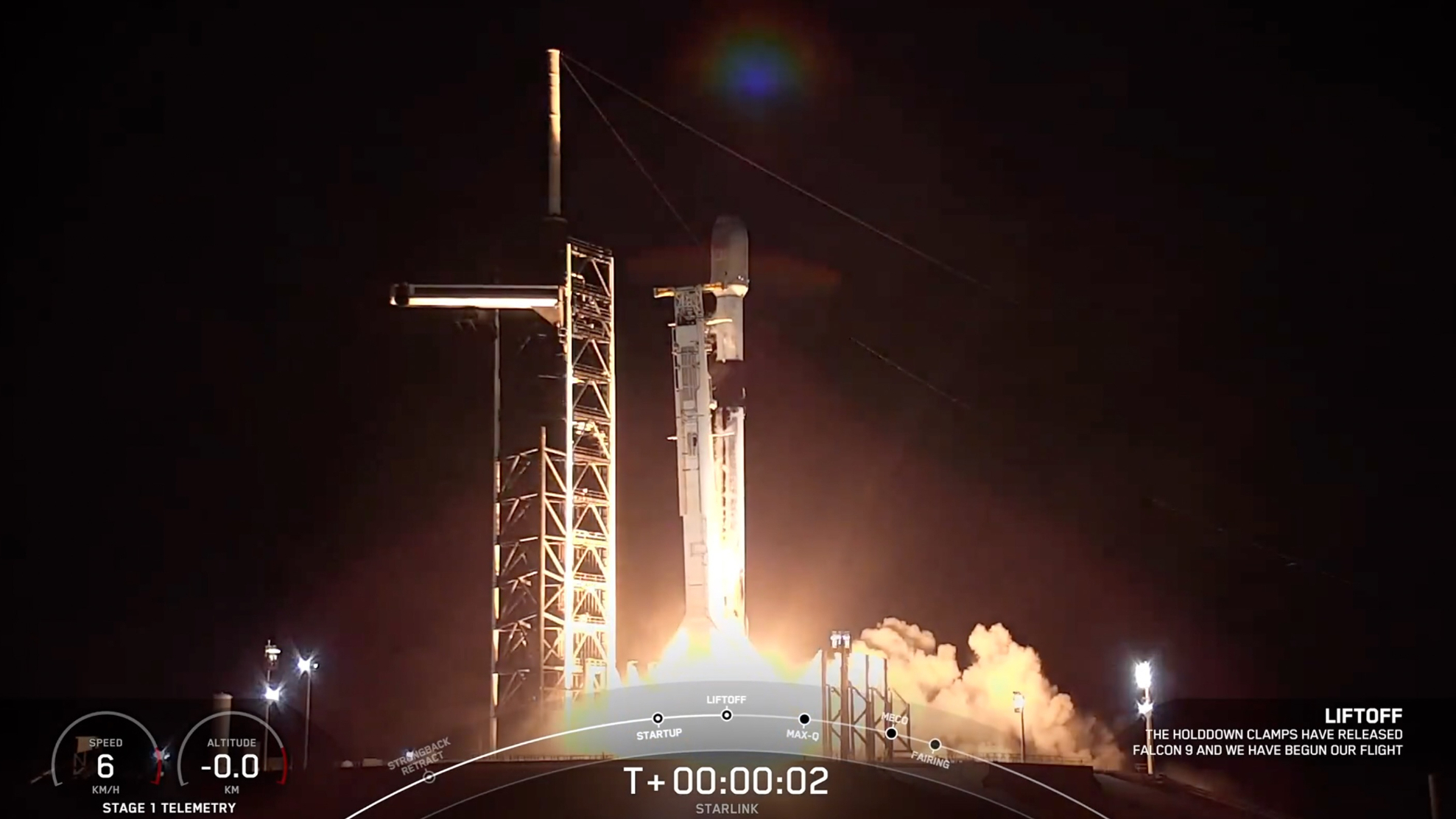
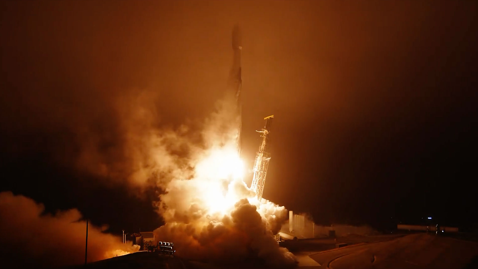
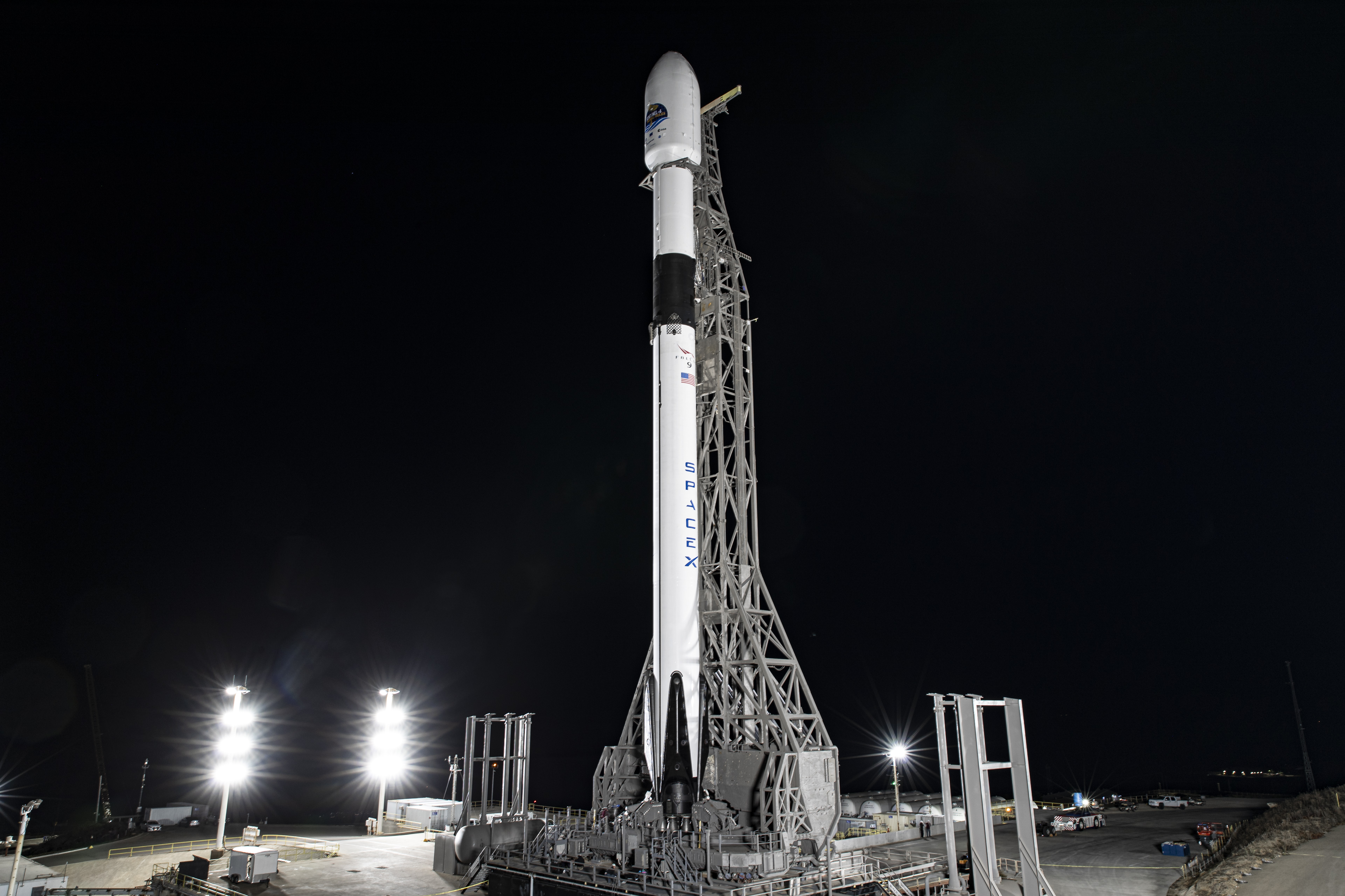
The satellite is expected to launch Saturday (Nov. 21) at 12:17 p.m. EST (9:17 a.m. local time and 1717 GMT) Space Launch Complex 4 at Vandenberg Air Force Base in California, on a five-year quest to map sea rise associated with global warming. Sentinel-6 will launch aboard a SpaceX Falcon 9 rocket. You can watch it live here on Space.com, courtesy of NASA TV.
Weather is 80% go for the prime launch opportunity on Saturday and a backup launch time on Sunday at 12:04 p.m. EST (9:04 a.m. local time and 1704 GMT). NASA held two media briefings Friday to discuss the impact the new mission will have on current maps and models.
Related: NASA scientist gets new Earth-observation satellite named after him
Sentinel-6 will not be represented separately in products from the National Oceanic Atmospheric Administration (NOAA), but it will enhance the models and maps NOAA and other partners in the mission already produce to better keep world populations safe from intensifying hurricanes, representatives said.
Sentinel-6 observations will be included in such as sea wave forecasts (handy for shipping products across the ocean) and tropical storm predictions, to evacuate coastal populations quickly if the need arises.
Once Sentinel-6 finishes its one-year commissioning period, anyone around the world – including educators, students and other members of the public – can download the raw data from the website of the European Organisation for the Exploitation of Meteorological Satellites (EUMETSAT).
Get the Space.com Newsletter
Breaking space news, the latest updates on rocket launches, skywatching events and more!
For researchers looking to improve their climate models, Sentinel-6's work will easily combine with other science missions. For example, the altimetry gathered from Sentinel-6 could be combined with Earth's gravity measurements from NASA's Gravity Recovery and Climate Experiment (GRACE) satellites.
This combination of measurements will show how much of sea level rise comes from melting ice sheets, and how much from sea rise comes from ocean expansion due to overall ocean warming, said Karen St. Germain, director of NASA's Earth science division, in a briefing focused on the mission's science return.
Related: Melting ice sheets will add 15 inches to global sea level rise by 2100
"Since 70% of the Earth's surface is ocean, the oceans play an important role in how the whole system [of global warming] changes," she said. "These global changes are creating both risks and opportunities for our human communities."
The benefits from Sentinel-6's data will flow to just about every sector affected by climate change, since 90% of the heat trapped by human-emitted greenhouse gases ends up in the ocean eventually, said Josh Willis, Sentinel-6 project scientist at NASA's Jet Propulsion Laboratory, in the science briefing.
"We're watching the rate of sea level rise right before our eyes, and it's satellites like this that allow us to do it," Willis said. The rate of sea level rise is accelerating, making it crucial to add high-definition data from Sentinel-6 to existing satellite altimeters, he noted. Today's sea level rise is close to 5 millimeters a year, more than double the annual rise rate charted in the 1990s.
Complicating predictions is that sea level rise does not go at the same rate around the world. Large cities such as New York City and Amsterdam are especially prone to waters creating floods among their populations, said Craig Donlon, Sentinel-6 project scientist at the European Space Agency, in the same briefing. Worse, he added, for every centimeter in sea level rise, as many as three million more people worldwide are exposed to flooding threats.
"The Earth is warming, and the greatest indicator is sea level rise," Donlon said. While space satellites have been tracking that in detail for 30 years, the roots of this problem began in the industrial revolution, when nations began burning huge reserves of carbon through coal, oil and other natural resources to power their economies.
While the scientists are looking forward to precise results from Sentinel-6, the launch teams are working to stay safe amid newer pandemic protocols such as temperature checks while entering buildings, physical distancing between workers and quarantines after travel.
"There are worse things than being trapped on the coast of California," joked Tim Dunn, launch director of NASA's launch services program, during the news conference on Friday. While the team cannot dine in restaurants as usual, they are still doing team building activities such as outdoor patio meetings and joint exercise, also outdoors, he said.
Morale remains high among the group and Dunn said he is proud of all the adaptations his colleagues are making. "It's good to come together with the team, and to know the importance of what we're doing," he said. "It does energize us and give us the necessary energy to continue to press forward."
Follow Elizabeth Howell on Twitter @howellspace. Follow us on Twitter @Spacedotcom and on Facebook.
Join our Space Forums to keep talking space on the latest missions, night sky and more! And if you have a news tip, correction or comment, let us know at: community@space.com.

Elizabeth Howell (she/her), Ph.D., was a staff writer in the spaceflight channel between 2022 and 2024 specializing in Canadian space news. She was contributing writer for Space.com for 10 years from 2012 to 2024. Elizabeth's reporting includes multiple exclusives with the White House, leading world coverage about a lost-and-found space tomato on the International Space Station, witnessing five human spaceflight launches on two continents, flying parabolic, working inside a spacesuit, and participating in a simulated Mars mission. Her latest book, "Why Am I Taller?" (ECW Press, 2022) is co-written with astronaut Dave Williams.
