Why does everything look flat even though the Earth is round?
The only way to see the curve of the Earth is to fly more than 6 miles (10 kilometers) above its surface.

Ever since the ancient Greeks first made observations of the circular Moon and the skies, scientists have known that the Earth is a sphere. We’ve all seen beautiful images of the Earth from space, some photographed by astronauts and others collected remotely by orbiting satellites. So why doesn’t our planet look round when we’re standing in a park or looking out a window?
The answer is all about perspective. Humans are pretty tiny creatures living on a really large sphere.
An average adult is between 5 feet and 6 feet 6 inches tall (1.5 to 2 meters), and kids are smaller. Imagine you’re a circus acrobat standing on a ball that’s about 3 feet (1 meter) wide. From on top of the ball, you would see it curving away from your feet in all directions.
Now picture a tiny fly on that circus ball. Its viewpoint would probably be a millimeter or less above the surface. Since the fly is much smaller than the ball, and its view is close to the surface, it can’t see the whole ball.
Related: How to debate a flat-Earther
The Earth is about 42 million feet (12.8 million meters) wide, and even a tall adult’s viewpoint is just 6 feet (about 2 meters) above its surface. There is no way our eyes can take in the size of the spherical Earth when we are standing on it. You couldn’t tell the Earth was a sphere even if you hiked to the top of Mount Everest, which is 29,035 feet (8,850 meters) above sea level.
The only way to see the curve of the Earth is to fly more than 6 miles (10 kilometers) above its surface. This is because the length of the horizon that we see depends on how high we are above Earth’s surface.
Breaking space news, the latest updates on rocket launches, skywatching events and more!
Standing on the ground with nothing blocking our vision, our eyes can see about 3 miles (4.8 kilometers) of the horizon. That’s not enough of the planet’s circumference to see the horizon line begin to show off its curve. Like a fly on a circus ball, we just can’t see enough of the edge where the Earth meets the sky.
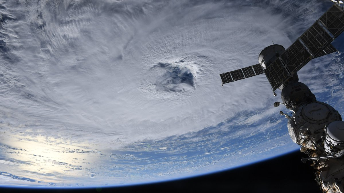
To see the whole spherical planet, you would need to hitch a ride with an astronaut or on a satellite. This would give you a full view of Earth from a much greater distance.
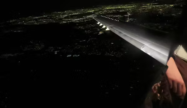
Big commercial airliners also can fly high enough to give glimpses of Earth’s curvature, although pilots have a much better view from the front of the plane than passengers get from side windows.

Not quite a sphere
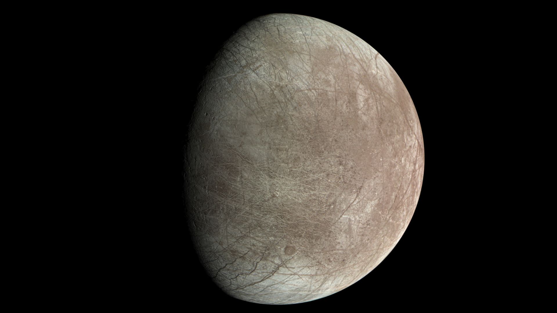
Even from space, you wouldn’t detect something important about Earth’s shape: It’s not perfectly round. It’s actually a slightly oblate spheroid, or an ellipsoid. This means it is a little bit wider around the equator than it is tall, like a sphere that someone sat on and squashed a little bit.
This is caused by Earth’s rotation, which creates centrifugal force – the same force that would cause you to fly off a spinning merry-go-round if you didn’t hold on. This force produces a slight bulge at the planet’s waistline.
Topographic features on Earth’s surface, such as mountains and deep-sea trenches, also distort its shape slightly. They cause small variations in the strength of Earth’s gravitational field – the force that pulls all objects on Earth downward, toward the planet’s center.
Earth science, the field that I study, has a branch called geodesy that’s devoted to studying Earth’s shape and how it’s positioned in space. Geodesy informs everything from building sewers and making accurate maps of sea level rise to launching and tracking spacecraft. It’s an important area of current scientific research and a reminder that we are still learning about this amazing planet we call home.

As a geomorphologist, I study the forces that shape the physical surface of our planet. I measure active processes in the field (such as glacier motion, subglacial erosion, water velocity, and sediment transport), and use these data to constrain numerical models of landscape evolution over geologic timescales. My current research focuses on understanding the role of glaciers in shaping alpine landscapes. I use tools such as GPS to understand how glaciers behave over daily to annual timescales, and numerical models to examine their role in creating the fantastic mountainous landscapes we see today. In addition to my work on glaciers, I am interested in the effects of dams on sediment and water transport in river systems. By looking at historical data and making measurements of current river dynamics, we can quantify changes in sediment transport, which has important implications for riparian habitats over time. I teach a wide range of classes, including Geomorphology, Rivers and the Environment, Environmental Geology, History and Evolution of the Earth, and Glaciers and Climate.

