Latest about Climate Change

How NOAA's Hurricane Hunter aircraft help satellites build a 'full picture of the storm'
Space.com got an up-close look at one of NOAA's Hurricane Hunter aircraft to more about how data from weather satellites help them on missions.

This mesmerizing NASA animation shows how carbon dioxide moves through Earth's atmosphere (video)
A high-resolution visualization from NASA's Scientific Visualization Studio shows global carbon dioxide emissions from January to March 2020.
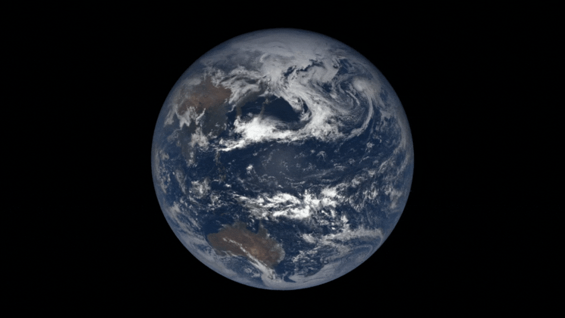
Earth is wobbling and days are getting longer — and humans are to blame
New studies, which utilized AI to monitor the effects of climate change on Earth's spin, have shown that our days are getting increasingly longer and that our planet will get more wobbly in the future. These changes could have major implications for humanity's future.

Satellites are game changers for protecting coral reefs in a warming world
Over the years, satellites have played an important role in monitoring oceans and coral reefs all across the globe.

Powerful wildfires devastating Canada captured in satellite imagery
A rapidly spreading wildfire burns through part of the largest national park in the Canadian Rockies as satellites track its growth and movement.

June 2024 featured record-breaking heat and billion-dollar weather disasters, NOAA says
The U.S. just suffered its second-hottest June in 130 years. The month also featured four new billion-dollar weather and climate disasters.

Scientists say they can now forecast El Niño Southern Oscillation years in advance
Scientists used thousands of years of climate data to show that El Niño Southern Oscillations can be predicted more than two years in advance.

Why is Earth's weather getting weirder?
We take a look at the apparent uptick in weird weather events and discuss the possible causes with leading climate scientist Katharine Hayhoe.


