Satellites and astronauts track Tropical Storm Elsa from space (photos)
Satellites and the crew on the International Space Station crew are tracking the progress of the record-breaking deadly Tropical Storm Elsa as it moves along the Florida coast.
The state was under a hurricane warning overnight from Tuesday into Wednesday (July 6 into July 7), with high winds expected all along the East Coast of the United States through Friday, according to a forecast from the National Hurricane Center of the National Oceanic and Atmospheric Administration (NOAA).
The storm, which formed on July 1, is the earliest-forming fifth named storm ever recorded in the Atlantic Ocean. Typically it takes until the end of August to have so many intense storms in this region, although last year, Tropical Storm Edouard formed on July 6, 2020, NOAA said in a separate update Tuesday. (Hurricane season in the Atlantic runs from June 1 to Nov. 30 of each year.)
Related: Hurricane season 2021: How long it lasts and what to expect

"Air Force Reserve Hurricane Hunters found #Elsa's max sustained winds are near 70 mph [110 kph]," the National Hurricane Center tweeted on Tuesday along with a picture of the tropical storm making landfall in Florida, as seen through the eyes of the NOAA GOES-East satellite. The newest GOES generation of satellites are optimized to track extreme weather, including lightning from orbit.
The NOAA Satellites Twitter account paid tribute to that capability of Goes EAST in a separate tweet Tuesday, along with an animation showing points of lightning across the continental United States. "Not only can we see lots of lightning thanks to the Geostationary Lightning Mapper, but we can also see #Elsa making its way toward Florida," the account stated.
The @NASA / @NOAA Suomi NPP satellite captured this image of Tropical Storm #Elsa over Jamaica on July 4th https://t.co/WwLVxFpR3y pic.twitter.com/pPeB33LgRxJuly 6, 2021
Meanwhile, the NOAA Satellites account tweeted on Tuesday a dramatic animation showing bursts of lightning throughout Elsa, which GOES East captured while the storm was just approaching Florida.
Get the Space.com Newsletter
Breaking space news, the latest updates on rocket launches, skywatching events and more!
NASA is also tracking the storm through the NASA-NOAA Suomi National Polar-orbiting Partnership (NPP) satellite that captures high-definition hemispheric views of Earth. The agency sent out a tweet of the satellite's view of tropical storm Elsa over Jamaica on Sunday (July 4). The storm left at least three people dead after devastating the Caribbean, NBC News said that day.
The @NASA / @NOAA Suomi NPP satellite captured this image of Tropical Storm #Elsa over Jamaica on July 4th https://t.co/WwLVxFpR3y pic.twitter.com/pPeB33LgRxJuly 6, 2021
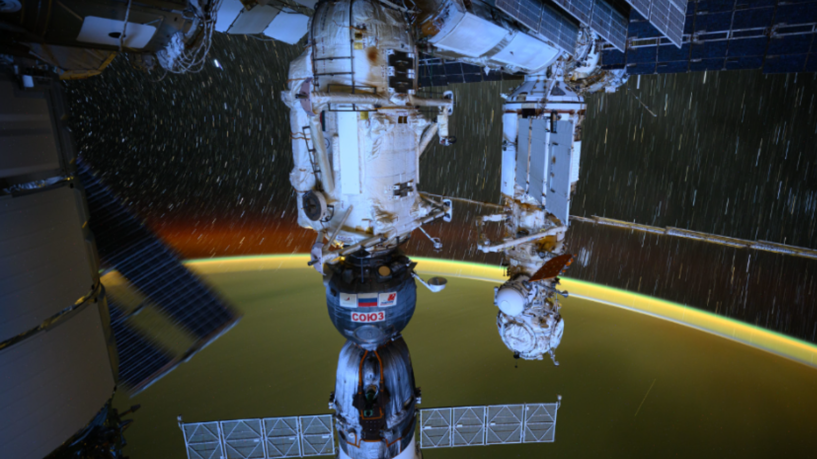
Weather satellites in geosynchronous orbit are crucial in making predictions for large storms and hurricanes, which are increasing in intensity and frequency as global warming accelerates. Additionally, crews on the International Space Station may take imagery of storms if time allows from their perch at 250 miles (400 km) in altitude, providing a closer viewpoint.
Follow Elizabeth Howell on Twitter @howellspace. Follow us on Twitter @Spacedotcom and on Facebook.
Join our Space Forums to keep talking space on the latest missions, night sky and more! And if you have a news tip, correction or comment, let us know at: community@space.com.

Elizabeth Howell (she/her), Ph.D., was a staff writer in the spaceflight channel between 2022 and 2024 specializing in Canadian space news. She was contributing writer for Space.com for 10 years from 2012 to 2024. Elizabeth's reporting includes multiple exclusives with the White House, leading world coverage about a lost-and-found space tomato on the International Space Station, witnessing five human spaceflight launches on two continents, flying parabolic, working inside a spacesuit, and participating in a simulated Mars mission. Her latest book, "Why Am I Taller?" (ECW Press, 2022) is co-written with astronaut Dave Williams.
